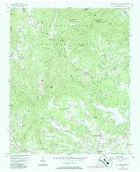
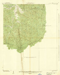
1957 Map of Clarkesville NE
USGS Topo · Published 1986About this map
Batesville serves as the primary settlement hub in this northern Georgia survey, which is defined by the sharp topography of the Chattahoochee National Forest. The landscape is etched by the Soque River and its numerous tributaries, including Beaverdam Creek, Shoal Creek, and Sutton Mill Creek. These watercourses dictated the placement of pioneer churches and community centers like Stonepile Ch and Alleys Chapel. The map reveals a distribution of rural life focused along valleys and the historical Turnpike, while the presence of the North Georgia Vocational School in the south indicates the region's developing infrastructure. Notable landmarks like Irwin Min and several named peaks, including Oakey Mountain and Harvest Mountain, illustrate the relationship between the mountainous terrain and the early residents of Habersham and Rabun counties. Geographers and local historians can trace the network of small congregations, such as Macedonia Ch and Seed Unity Ch, that anchored these mountain communities.
Find a feature on this map
53 named features on this map. Tap any name to fly to it.
Don’t see what you’re looking for? This feature index may not catch every label — zoom into the map to look around manually.
Map Details
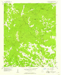
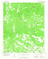
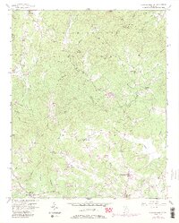
Editions of this 1957 Clarkesville NE Map
4 editions found
Other maps of this area

1886 · Dahlonega
USGS Topo · 1:125,000

1886 · Walhalla
USGS Topo · 1:125,000

1892 · Dahlonega
USGS Topo · 1:125,000

1892 · Walhalla
USGS Topo · 1:125,000

1896 · Walhalla
USGS Topo · 1:125,000

1896 · Dahlonega
USGS Topo · 1:125,000

1903 · Dahlonega
USGS Topo · 1:125,000

1935 · Tray Mountain
USGS Topo · 1:24,000
1938 · Tray Mountain
USGS Topo · 1:24,000

1953 · Tallulah Falls
USGS Topo · 1:24,000