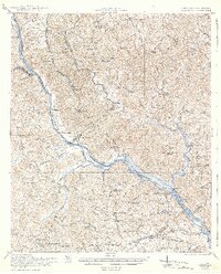
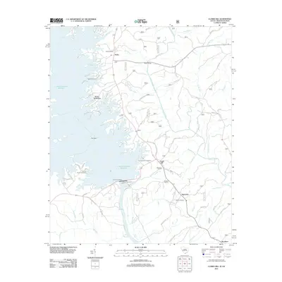
1921 Map of Clarks Hill
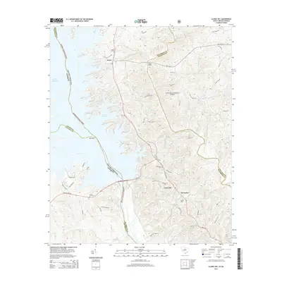
USGS Topo · Published 1942About this map
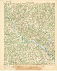
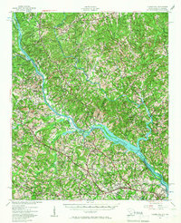
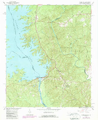
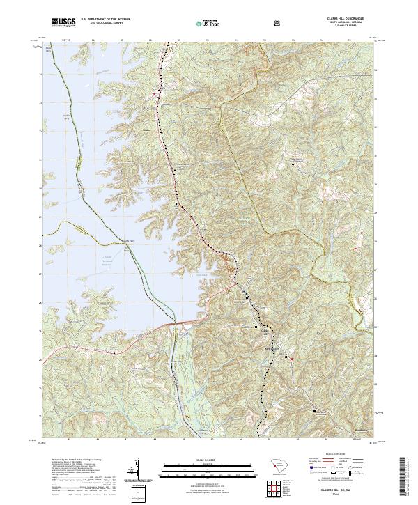
Savannah River crossings and the shifting border between South Carolina and Georgia anchor this 1918–1919 survey. Before the massive reservoirs altered the river valley, a series of essential river crossings such as Gilchrist Ferry, Dents Ferry, and Middleton Ferry connected isolated rural communities like Modoc and Meriwether. The landscape is dotted with numerous small country churches and schools, such as Mt Enon Church and Flat Rock School, reflecting the dense network of small family farms that defined the early twentieth-century South.
Find a feature on this map
70 named features on this map. Tap any name to fly to it.
Don’t see what you’re looking for? This feature index may not catch every label — zoom into the map to look around manually.
Map Details
Editions of this 1921 Clarks Hill Map
3 editions found

Historical Maps of Augusta Through Time
10 maps found

1920 Clarks Hill
McCormick County, SC
1921 Clarks Hill
McCormick County, SC
1941 Clarks Hill
McCormick County, SC

1942 Clarks Hill
McCormick County, SC
1964 Clarks Hill
McCormick County, SC
2012 Clarks Hill
McCormick County, SC
2014 Clarks Hill
McCormick County, SC
2017 Clarks Hill
McCormick County, SC
2020 Clarks Hill
McCormick County, SC
2024 Clarks Hill
McCormick County, SC