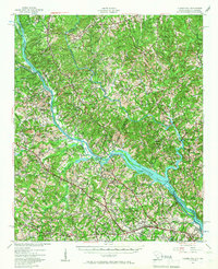
1941 Map of Clarks Hill
USGS Topo · Published 1966About this map
The Savannah River forms the central artery of this South Carolina and Georgia borderland, captured here during a significant period of transformation as the Clark Hill Dam project began to reshape the landscape. The geography is defined by the transition from river-bottom crossings like Gilchrist Ferry and Dents Ferry to the anticipated reservoirs, indicated by pool elevation markers. Away from the water, a dense network of country churches and schools, such as Hosannah Ch and Red Oak Grove Sch, anchors small agricultural communities across Columbia and McCormick counties.
Find a feature on this map
57 named features on this map. Tap any name to fly to it.
Don’t see what you’re looking for? This feature index may not catch every label — zoom into the map to look around manually.
Map Details
Editions of this 1941 Clarks Hill Map
2 editions found

Other maps of this area

1892 · Mc Cormick
USGS Topo · 1:125,000

1912 · Mc Cormick
USGS Topo · 1:125,000

1920 · Clarks Hill
USGS Topo · 1:48,000

1921 · Augusta
USGS Topo · 1:62,500

1921 · Clarks Hill
USGS Topo · 1:62,500

1921 · Appling
USGS Topo · 1:62,500

1922 · Harlem
USGS Topo · 1:62,500

1922 · Hephzibah
USGS Topo · 1:62,500

1923 · Warrenville
USGS Topo · 1:48,000

1928 · Warrenville
USGS Topo · 1:62,500