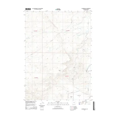
2015 Map of Clarkson Hill
USGS Topo · Published 2015About this map
The Oregon Trail cuts a diagonal path through this portion of Natrona County, following the historical westward migration route across a landscape dominated by high ridges and intermittent drainages. Water management is a central theme here, evidenced by the Casper Canal as it winds through the eastern hills, supported by engineering works like Tunnel Number 3 and Tunnel Number 4. These features illustrate the 20th-century irrigation efforts that transformed this arid region.
Find a feature on this map
19 named features on this map. Tap any name to fly to it.
Don’t see what you’re looking for? This feature index may not catch every label — zoom into the map to look around manually.
Map Details
Editions of this 2015 Clarkson Hill Map
This is the sole edition of this map. No revisions or reprints were ever made.
Other maps of this area

1950 · Emigrant Gap
USGS Topo · 1:24,000

1950 · Alcova SE
USGS Topo · 1:24,000

1950 · Alcova
USGS Topo · 1:24,000

1951 · Oil Mountain
USGS Topo · 1:24,000

1951 · Clarkson Hill
USGS Topo · 1:24,000

1951 · Benton Basin
USGS Topo · 1:24,000

1951 · Poison Spider
USGS Topo · 1:24,000

1951 · Bessemer Mountain
USGS Topo · 1:24,000

1951 · Benton Basin NE
USGS Topo · 1:24,000

1955 · Casper
USGS Topo · 1:250,000