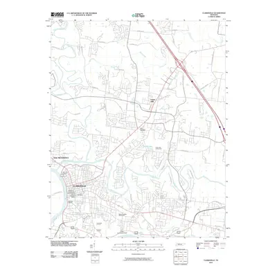
2010 Map of Clarksville
USGS Topo · Published 2010About this map
The confluence of the Red River and Cumberland River dominates this Tennessee landscape, shaping the growth of Clarksville and its northern neighborhood, New Providence. This 2010 survey illustrates the city’s complex topography, where urban development meets significant natural landmarks like Gallows Hollow and the riverfront King and Queens Bluff. The map provides excellent detail for local historians, clearly marking the boundaries of the Downtown Architectural Historic District and the Dog Hill Architectural District, which preserve the city’s early urban character.
Find a feature on this map
65 named features on this map. Tap any name to fly to it.
Don’t see what you’re looking for? This feature index may not catch every label — zoom into the map to look around manually.
Map Details
Editions of this 2010 Clarksville Map
This is the sole edition of this map. No revisions or reprints were ever made.
Other maps of this area

1944 · Clarksville
USGS Topo · 1:50,000

1950 · Guthrie
USGS Topo · 1:24,000

1951 · New Providence
USGS Topo · 1:24,000

1951 · Hammacksville
USGS Topo · 1:24,000

1951 · Clarksville
USGS Topo · 1:24,000

1951 · Oak Grove
USGS Topo · 1:24,000

1956 · Nashville
USGS Topo · 1:250,000

1957 · Henrietta
USGS Topo · 1:24,000

1957 · Sango
USGS Topo · 1:24,000

1957 · New Providence
USGS Topo · 1:24,000
Featured Places
- Clarksville, TN
- Charlestown Estates, Clarksville
- Rossview, Clarksville
- Meadow Lane, Clarksville
- Evergreen Estates, Clarksville