
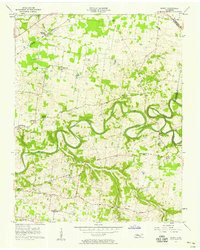
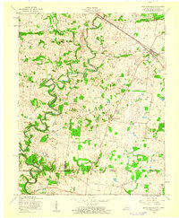
1957 Map of Sango
USGS Topo · Published 1958About this map
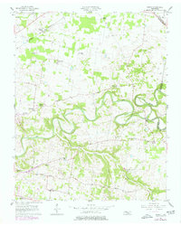
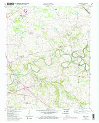
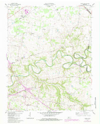
The Red River and Sulphur Fork Red River carve a deep, meandering path through the tobacco-growing country of northern Middle Tennessee in the late 1950s. Centered on the border of Montgomery and Robertson counties, this landscape is defined by its small, scattered rural communities and a high density of country churches such as Hollins Chapel, Corinth Ch, and Little Hope Ch. The historic river port at Port Royal sits at the confluence of the two major waterways, representing an older era of river commerce that had largely given way to rail and road by this time.
Find a feature on this map
33 named features on this map. Tap any name to fly to it.
Don’t see what you’re looking for? This feature index may not catch every label — zoom into the map to look around manually.
Map Details
Editions of this 1957 Sango Map
5 editions found
Other maps of this area

1944 · Clarksville
USGS Topo · 1:50,000

1950 · Allensville
USGS Topo · 1:24,000

1950 · Guthrie
USGS Topo · 1:24,000

1951 · Hammacksville
USGS Topo · 1:24,000

1951 · Clarksville
USGS Topo · 1:24,000

1956 · Nashville
USGS Topo · 1:250,000

1957 · Adams
USGS Topo · 1:24,000

1957 · Pleasant View
USGS Topo · 1:24,000

1957 · Henrietta
USGS Topo · 1:24,000
1957 · Hammacksville
USGS Topo · 1:24,000