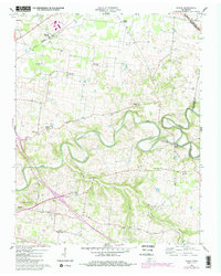
1957 Map of Sango
USGS Topo · Published 1984About this map
The winding loops of the Red River define this rural Tennessee landscape at the boundary of Montgomery and Robertson counties. Near the river's confluence with the Sulphur Fork, the historic site of Port Royal State Park serves as a focal point, marking a location with deep roots in regional commerce and travel. The area is characterized by a dense network of community centers, including numerous country churches such as Corinth Ch, Mt Nebo Ch, and Little Hope Ch, which alongside Pisgah Sch, suggest a well-established social fabric in the mid-20th century.
Find a feature on this map
30 named features on this map. Tap any name to fly to it.
Don’t see what you’re looking for? This feature index may not catch every label — zoom into the map to look around manually.
Map Details
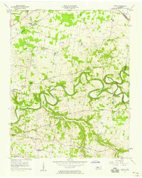
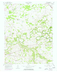
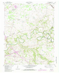
Editions of this 1957 Sango Map
5 editions found
Other maps of this area

1944 · Clarksville
USGS Topo · 1:50,000

1950 · Allensville
USGS Topo · 1:24,000

1950 · Guthrie
USGS Topo · 1:24,000

1951 · Hammacksville
USGS Topo · 1:24,000

1951 · Clarksville
USGS Topo · 1:24,000

1956 · Nashville
USGS Topo · 1:250,000

1957 · Adams
USGS Topo · 1:24,000

1957 · Pleasant View
USGS Topo · 1:24,000

1957 · Henrietta
USGS Topo · 1:24,000

1957 · Sango
USGS Topo · 1:24,000