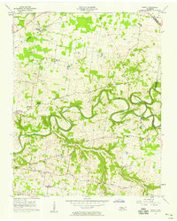
1957 Map of Sango
USGS Topo · Published 1958About this map
The winding Red River and its tributary Sulphur Fork carve a deep, serpentine path through the landscape of Montgomery and Robertson counties. In the late 1950s, this area remained primarily rural, defined by a network of local schools and churches that served scattered farming communities. Significant landmarks such as Corinth Ch, Mt Nebo Ch, and St Matthews Ch are found north of the river, while Little Hope Ch and Nevel Chapel anchor the southern reaches near the settlement of Sango.
Find a feature on this map
30 named features on this map. Tap any name to fly to it.
Don’t see what you’re looking for? This feature index may not catch every label — zoom into the map to look around manually.
Map Details
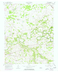
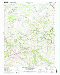
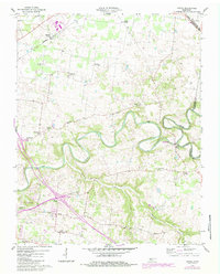
Editions of this 1957 Sango Map
5 editions found
Other maps of this area

1944 · Clarksville
USGS Topo · 1:50,000

1950 · Allensville
USGS Topo · 1:24,000

1950 · Guthrie
USGS Topo · 1:24,000

1951 · Hammacksville
USGS Topo · 1:24,000

1951 · Clarksville
USGS Topo · 1:24,000

1956 · Nashville
USGS Topo · 1:250,000

1957 · Adams
USGS Topo · 1:24,000

1957 · Pleasant View
USGS Topo · 1:24,000

1957 · Henrietta
USGS Topo · 1:24,000

1957 · Sango
USGS Topo · 1:24,000