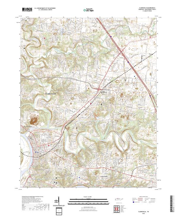
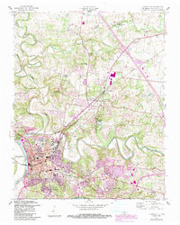
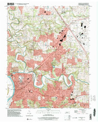
2022 Map of Clarksville
USGS Topo · Published 2022About this map
The confluence of the Cumberland River and the Red River defines the urban center of Clarksville, where the Montgomery County Courthouse stands as a focal point for the region. This 2022 survey details the modern layout of the city, showing the expansion of neighborhoods like New Providence and Ashland Hills alongside educational institutions such as Austin Peay State University and Hussian College Clarksville. The map provides significant detail for local historians, documenting numerous family and community burial grounds including the Andrew Dudley Cem, George Allen Cem, and the Dudley Family Cem.
Find a feature on this map
23 named features on this map. Tap any name to fly to it.
Don’t see what you’re looking for? This feature index may not catch every label — zoom into the map to look around manually.
Map Details
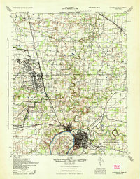
Editions of this 2022 Clarksville Map
This is the sole edition of this map. No revisions or reprints were ever made.
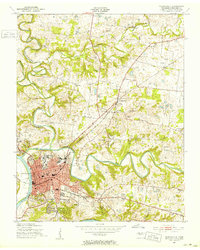
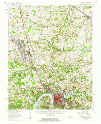
Historical Maps of Eastern Hills Through Time
6 maps found
Featured Locations
- Clarksville, TN
- Beacon Hills, Clarksville
- Buckner Pine Subdivision, Clarksville
- Bellamy Court, Clarksville
- Cedarbrook, Clarksville