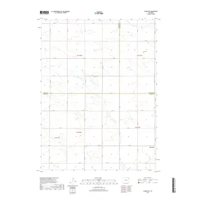
2019 Map of Clarkville
USGS Topo · Published 2019About this map
Clarkville serves as the primary focal point in this corner of Northeast Colorado, situated at the intersection of a vast grid of section roads near the Phillips and Yuma County line. The landscape is defined by its high plains character, where seasonal drainages like Coyote Creek and Patent Creek cut through the terrain. Significant for local historians and genealogists, the map identifies small, remote burial sites including Bryant Cem and Rockland Cem, which stand as quiet markers of the early ranching and farming families who settled these sections. The topographic detail highlights subtle natural landmarks such as Antelope Gap, providing a clear view of the physical geography that dictated the placement of early homesteads and travel routes across the t5n r47w and surrounding townships. This record captures the area's agricultural organization, where the road network, including Co RD 57 and Co RD 1, follows the strictly defined township and range system.
Find a feature on this map
36 named features on this map. Tap any name to fly to it.
Don’t see what you’re looking for? This feature index may not catch every label — zoom into the map to look around manually.
Map Details
Editions of this 2019 Clarkville Map
This is the sole edition of this map. No revisions or reprints were ever made.
Other maps of this area

1954 · Sterling
USGS Topo · 1:250,000

1958 · Sterling
USGS Topo · 1:250,000

1971 · Clarkville NE
USGS Topo · 1:24,000

1971 · Haxtun SE
USGS Topo · 1:24,000

1971 · Clarkville SE
USGS Topo · 1:24,000

1972 · Clarkville
USGS Topo · 1:24,000

1972 · New Haven
USGS Topo · 1:24,000

1972 · St Petersburg
USGS Topo · 1:24,000

1972 · Rockland
USGS Topo · 1:24,000

1972 · Lone Star
USGS Topo · 1:24,000