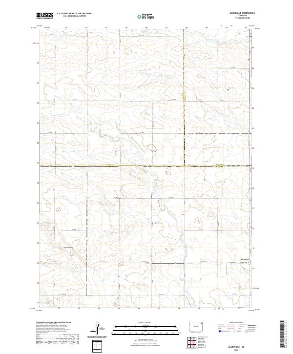
2022 Map of Clarkville
USGS Topo · Published 2022About this map
The settlement of Clarkville anchors the southeastern corner of this High Plains landscape at the intersection of several section roads. This agricultural region is defined by a strictly surveyed grid of county routes, such as Co RD 57 and Co RD 1, which partition the landscape across the borders of Yuma, Phillips, and Logan Counties. Two quiet burial grounds, Rockland Cem and Bryant Cem, are preserved here, serving as the primary markers of earlier rural community life for genealogists and local historians. The terrain is shaped by subtle drainage patterns, with Coyote Creek and Patent Creek cutting across the sections, while Antelope Gap provides one of the few named topographical landmarks in the western half of the quadrangle. The map reflects a modern state of the plains, where long-established cemetery sites remain the most enduring links to the 19th-century homesteading era.
Find a feature on this map
37 named features on this map. Tap any name to fly to it.
Don’t see what you’re looking for? This feature index may not catch every label — zoom into the map to look around manually.
Map Details
Editions of this 2022 Clarkville Map
This is the sole edition of this map. No revisions or reprints were ever made.
Other maps of this area

1954 · Sterling
USGS Topo · 1:250,000

1958 · Sterling
USGS Topo · 1:250,000

1971 · Clarkville NE
USGS Topo · 1:24,000

1971 · Haxtun SE
USGS Topo · 1:24,000

1971 · Clarkville SE
USGS Topo · 1:24,000

1972 · Clarkville
USGS Topo · 1:24,000

1972 · New Haven
USGS Topo · 1:24,000

1972 · St Petersburg
USGS Topo · 1:24,000

1972 · Rockland
USGS Topo · 1:24,000

1972 · Lone Star
USGS Topo · 1:24,000