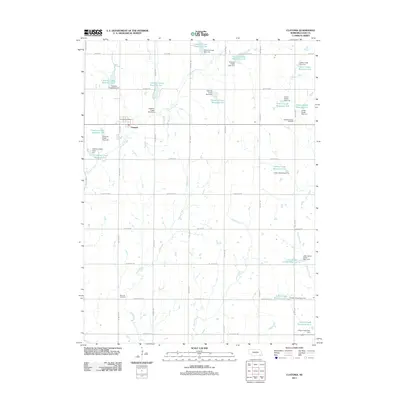
2011 Map of Clatonia
USGS Topo · Published 2011About this map
Clatonia sits at the heart of this agricultural landscape in Gage County, anchored by the Clatonia Post Office. The surrounding terrain is defined by a sophisticated system of water management, evidenced by numerous dams and reservoirs including Clatonia Creek Reservoir 7-A and the Indian Creek Reservoir 3-A. This network of artificial impoundments along Clatonia Creek, Soap Creek, and Snake Creek illustrates the modern engineering used to manage the prairie watersheds for irrigation and flood control.
Find a feature on this map
52 named features on this map. Tap any name to fly to it.
Don’t see what you’re looking for? This feature index may not catch every label — zoom into the map to look around manually.
Map Details
Editions of this 2011 Clatonia Map
This is the sole edition of this map. No revisions or reprints were ever made.
Other maps of this area

1897 · Lincoln
USGS Topo · 1:125,000

1955 · Lincoln
USGS Topo · 1:250,000

1957 · Lincoln
USGS Topo · 1:250,000

1957 · Plymouth
USGS Topo · 1:24,000

1957 · Clatonia
USGS Topo · 1:24,000

1957 · Beatrice West
USGS Topo · 1:24,000

1957 · Wilber
USGS Topo · 1:24,000

1957 · Beatrice East
USGS Topo · 1:24,000

1958 · Lincoln
USGS Topo · 1:250,000

1964 · Cortland
USGS Topo · 1:24,000