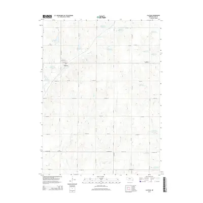
2014 Map of Clatonia
USGS Topo · Published 2014About this map
Clatonia stands as the primary settlement in this section of Gage County, where a grid of rural section roads divides a landscape defined by an extensive system of watershed management. The terrain is notably marked by numerous man-made impoundments, such as Clatonia Cr Reservoir 7-A and Indian Cr Reservoir 3-A, which regulate the flow of local tributaries including Clatonia Cr, Soap Cr, and Snake Cr. For those researching local family history, the map identifies key burial sites including Rose Hill Cem to the south and Highland Center Cem located east of the main town site. The intersection of Adams St and Jefferson St forms the core of the village, surrounded by vast agricultural tracts that drain toward Possum Cr and the larger Indian Creek drainage system.
Find a feature on this map
36 named features on this map. Tap any name to fly to it.
Don’t see what you’re looking for? This feature index may not catch every label — zoom into the map to look around manually.
Map Details
Editions of this 2014 Clatonia Map
This is the sole edition of this map. No revisions or reprints were ever made.
Other maps of this area

1897 · Lincoln
USGS Topo · 1:125,000

1955 · Lincoln
USGS Topo · 1:250,000

1957 · Lincoln
USGS Topo · 1:250,000

1957 · Plymouth
USGS Topo · 1:24,000

1957 · Clatonia
USGS Topo · 1:24,000

1957 · Beatrice West
USGS Topo · 1:24,000

1957 · Wilber
USGS Topo · 1:24,000

1957 · Beatrice East
USGS Topo · 1:24,000

1958 · Lincoln
USGS Topo · 1:250,000

1964 · Cortland
USGS Topo · 1:24,000