Loading...
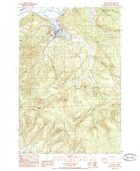
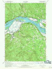
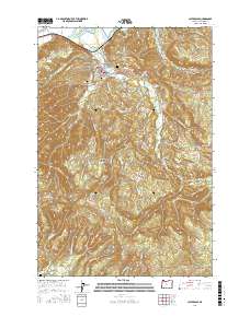
Loading map...1985 Map of Clatskanie
USGS Topo · Published 1985About this map
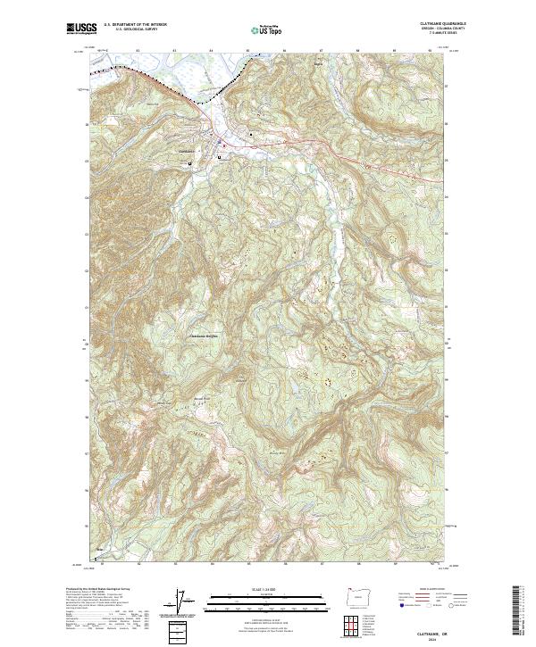
Clatskanie serves as the focal point of this mid-1980s landscape, where the Clatskanie River meanders toward the Beaver Dredge Cut and the Columbia River lowlands. The town is flanked by several significant burial sites, including Bryant Cem, Maplewood Cem, and Murray Hill Cem, providing rich data for genealogical research. The Burlington Northern railroad corridor traces the river valley, marking the industrial connectivity of this timber-and-water territory.
Find a feature on this map
46 named features on this map. Tap any name to fly to it.
Don’t see what you’re looking for? This feature index may not catch every label — zoom into the map to look around manually.
Map Details
Date Portrayed1985
Date Published1985
PublisherU.S. Geological Survey
Map TypeTopographic
Scale1:24,000
Physical Dimensions22 x 26.8 inches
Editions of this 1985 Clatskanie Map
This is the sole edition of this map. No revisions or reprints were ever made.
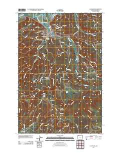
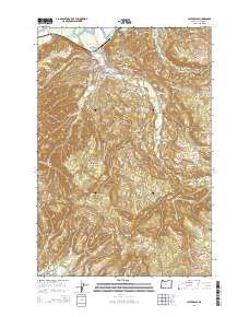
Historical Maps of Clatskanie Through Time
8 maps found

Featured Locations
Source Details
SourceU.S. Geological Survey
CopyrightPublic Domain