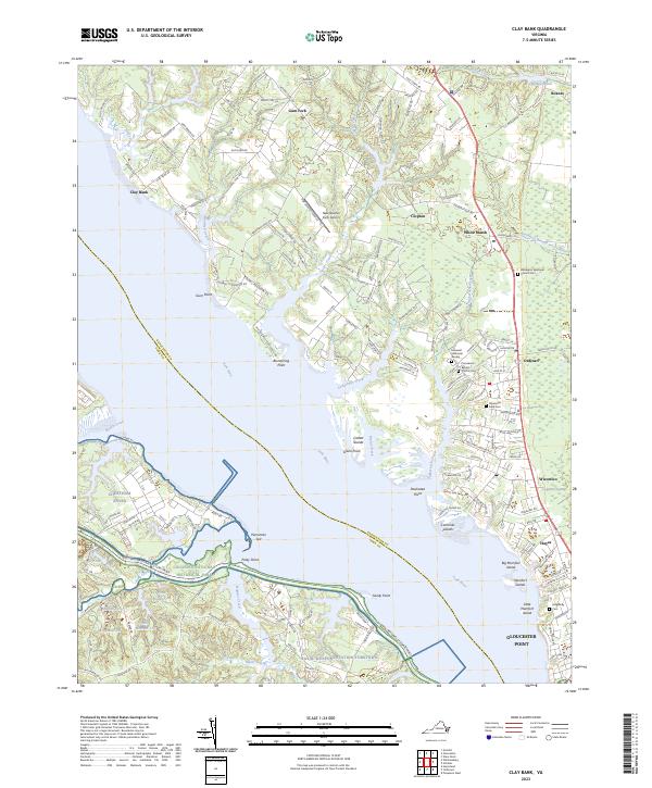
2023 Map of Clay Bank
USGS Topo · Published 2023About this map
Gloucester Point and the surrounding Tidewater landscape define this coastal reach where the York River meets an intricate network of creeks and marshes. This contemporary survey details the established communities of White Marsh, Ordinary, and Hayes, reflecting centuries of settlement along the Virginia peninsula. Along the southern bank, federal land use is prominent, with the Naval Weapons Station Yorktown and Cheatham Annex occupying large tracts adjacent to the Colonial National Historical Park.
Find a feature on this map
188 named features on this map. Tap any name to fly to it.
Don’t see what you’re looking for? This feature index may not catch every label — zoom into the map to look around manually.
Map Details
Editions of this 2023 Clay Bank Map
This is the sole edition of this map. No revisions or reprints were ever made.
Other maps of this area

1906 · Williamsburg
USGS Topo · 1:62,500

1907 · Yorktown
USGS Topo · 1:62,500

1907 · Hampton
USGS Topo · 1:62,500

1916 · Mathews
USGS Topo · 1:62,500

1917 · Mathews
USGS Topo · 1:62,500

1943 · Yorktown
USGS Topo · 1:62,500

1943 · Richmond
USGS Topo · 1:250,000

1944 · Yorktown
USGS Topo · 1:24,000

1944 · Harris Grove
USGS Topo · 1:24,000

1948 · Ware Neck
USGS Topo · 1:24,000