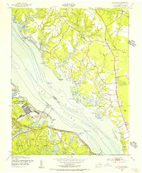
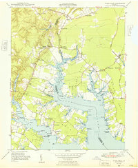
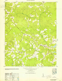
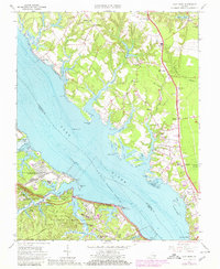
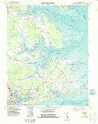
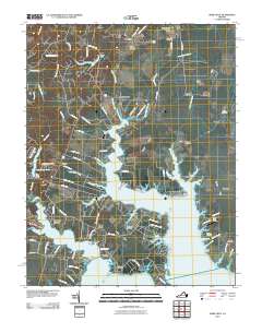
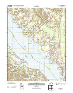
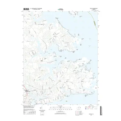
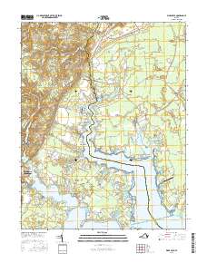
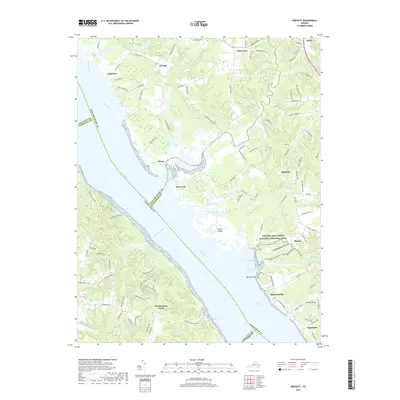
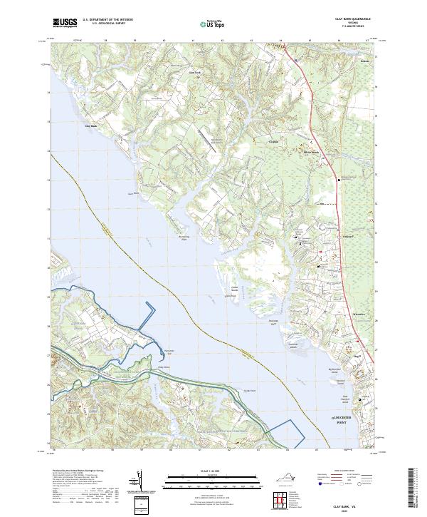
1952 Map of Clay Bank
USGS Topo · Published 1956About this map
The York River dominates this mid-century survey, dividing Gloucester and York counties and serving as the backdrop for significant military and historical sites. Along the southern shore, large federal installations including the Yorktown Naval Mine Depot, Camp Peary, and the Naval Supply Depot Cheatham Annex reflect the area's strategic importance during the early Cold War era. The Colonial National Historical Parkway winds through this southern sector, connecting the region's deep colonial roots with its modern military functions.
Find a feature on this map
76 named features on this map. Tap any name to fly to it.
Don’t see what you’re looking for? This feature index may not catch every label — zoom into the map to look around manually.
Map Details
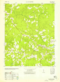
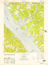
Editions of this 1952 Clay Bank Map
This is the sole edition of this map. No revisions or reprints were ever made.
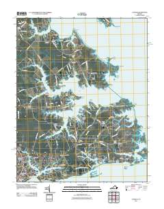
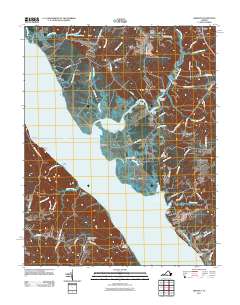
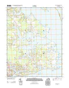
Historical Maps of Rosewell Harbor Through Time
41 maps found

1906 Williamsburg
Gloucester County, VA

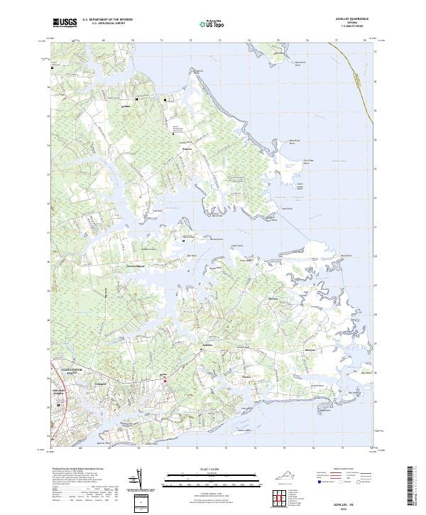
1948 Achilles
Gloucester County, VA
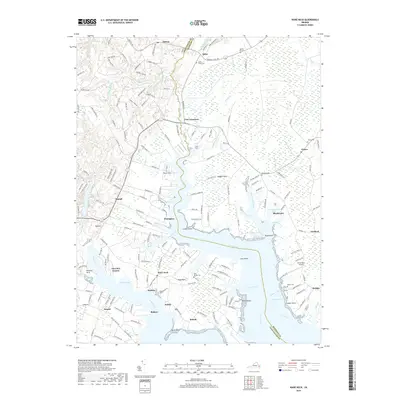
1948 Ware Neck
Gloucester County, VA
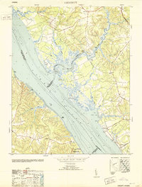
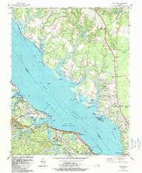
1952 Clay Bank
Gloucester County, VA
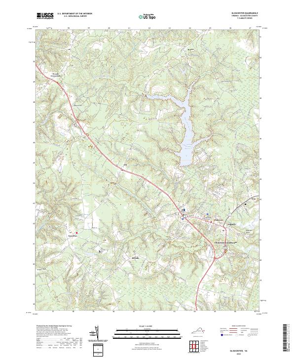
1952 Gloucester
Gloucester County, VA
1952 Gressitt
Gloucester County, VA
1953 Gloucester
Gloucester County, VA
1953 Gressitt
Gloucester County, VA
1957 Achilles
Gloucester County, VA
1965 Achilles
Gloucester County, VA
1965 Clay Bank
Gloucester County, VA
1965 Gloucester
Gloucester County, VA
1965 Gressitt
Gloucester County, VA
1965 Ware Neck
Gloucester County, VA
1983 Achilles
Gloucester County, VA
1984 Clay Bank
Gloucester County, VA
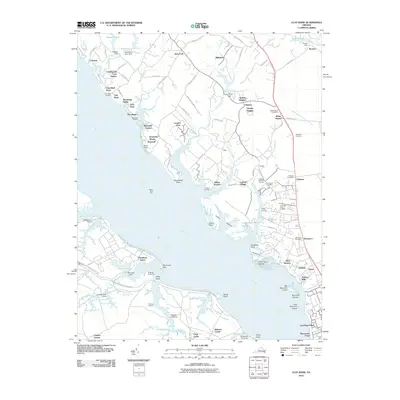
2010 Clay Bank
Gloucester County, VA
2010 Gloucester
Gloucester County, VA
2010 Ware Neck
Gloucester County, VA
2011 Achilles
Gloucester County, VA
2011 Gressitt
Gloucester County, VA
2013 Achilles
Gloucester County, VA
2013 Clay Bank
Gloucester County, VA
2013 Gloucester
Gloucester County, VA
2013 Gressitt
Gloucester County, VA
2013 Ware Neck
Gloucester County, VA
2016 Achilles
Gloucester County, VA
2016 Clay Bank
Gloucester County, VA
2016 Gloucester
Gloucester County, VA
2016 Gressitt
Gloucester County, VA
2016 Ware Neck
Gloucester County, VA
2019 Achilles
Gloucester County, VA
2019 Clay Bank
Gloucester County, VA
2019 Gloucester
Gloucester County, VA
2019 Gressitt
Gloucester County, VA
2019 Ware Neck
Gloucester County, VA
2022 Achilles
Gloucester County, VA
2022 Gloucester
Gloucester County, VA
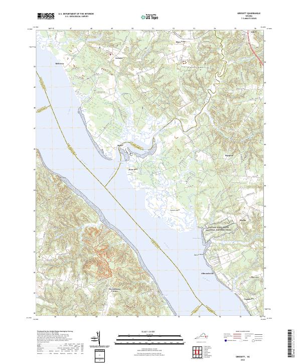
2022 Gressitt
Gloucester County, VA
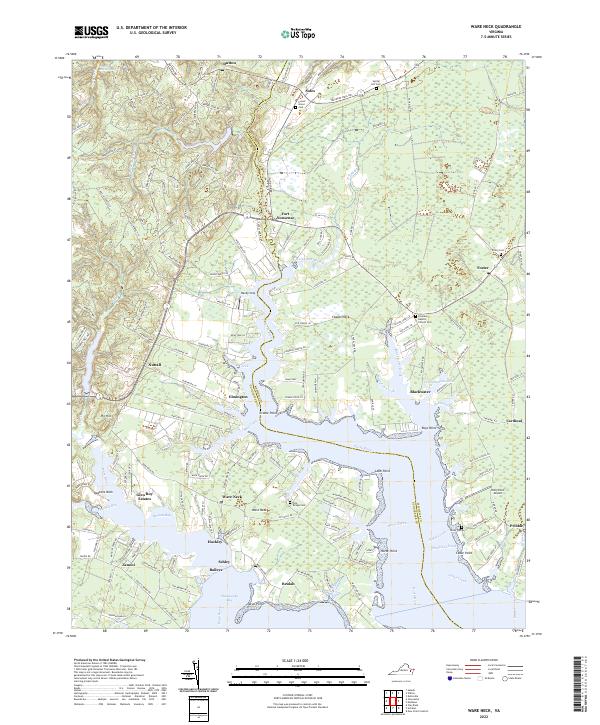
2022 Ware Neck
Gloucester County, VA
2023 Clay Bank
Gloucester County, VA