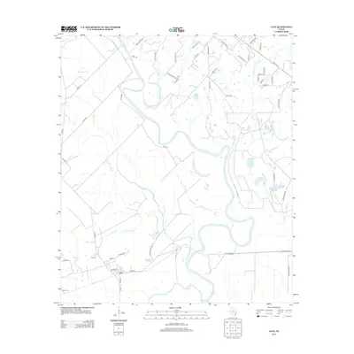
2013 Map of Clay
USGS Topo · Published 2013About this map
The Brazos River meanders across this landscape, creating a complex network of oxbow lakes, bayous, and seasonal creeks. The settlement of Clay serves as a small focal point, characterized by its grid of streets including Booker T St and Palmer St. The area's agricultural and rural character is defined by sprawling farm roads and family-named land features, suggesting a long history of river-bottom farming.
Find a feature on this map
59 named features on this map. Tap any name to fly to it.
Don’t see what you’re looking for? This feature index may not catch every label — zoom into the map to look around manually.
Map Details
Editions of this 2013 Clay Map
This is the sole edition of this map. No revisions or reprints were ever made.
Other maps of this area

1913 · Millican
USGS Topo · 1:31,680

1914 · Gay Hill
USGS Topo · 1:62,500

1914 · Navasota
USGS Topo · 1:62,500

1954 · Austin
USGS Topo · 1:250,000

1956 · Bryan
USGS Topo · 1:62,500

1956 · Carlos
USGS Topo · 1:62,500

1958 · Washington
USGS Topo · 1:24,000

1959 · Millican
USGS Topo · 1:24,000

1959 · Gay Hill
USGS Topo · 1:24,000

1959 · Clay
USGS Topo · 1:24,000