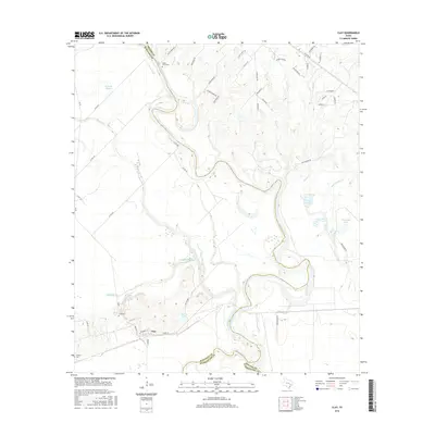
2016 Map of Clay
USGS Topo · Published 2016About this map
The Brazos River meanders heavily through this 2016 survey, forming a complex boundary between Burleson, Brazos, and Washington counties. This fluvial landscape is defined by its oxbows and backwaters, including Old River Brazos River, Buzzard Bayou, and Koontz Bayou. The settlement of Clay sits south of the river, anchored by a grid of streets such as Booker T St and Folz St. The area's history is traced through small burial grounds like Clay Cem, Thomas Cem, and Botts Ferry Cem, the latter hinting at an earlier river-crossing economy. Numerous named bodies of water like Wilkins Lake and Tennessee Lake reflect the low-lying, water-dominant geography of the river valley where Yegua Creek joins the larger system.
Find a feature on this map
57 named features on this map. Tap any name to fly to it.
Don’t see what you’re looking for? This feature index may not catch every label — zoom into the map to look around manually.
Map Details
Editions of this 2016 Clay Map
This is the sole edition of this map. No revisions or reprints were ever made.
Other maps of this area

1913 · Millican
USGS Topo · 1:31,680

1914 · Gay Hill
USGS Topo · 1:62,500

1914 · Navasota
USGS Topo · 1:62,500

1954 · Austin
USGS Topo · 1:250,000

1956 · Bryan
USGS Topo · 1:62,500

1956 · Carlos
USGS Topo · 1:62,500

1958 · Washington
USGS Topo · 1:24,000

1959 · Millican
USGS Topo · 1:24,000

1959 · Gay Hill
USGS Topo · 1:24,000

1959 · Clay
USGS Topo · 1:24,000