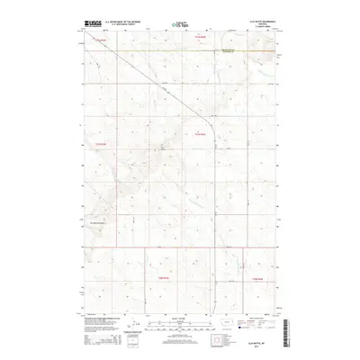
2014 Map of Clay Butte
USGS Topo · Published 2014About this map
Clay Butte and the northern reaches of the Big Sheep Mountains dominate this high-plains landscape where the Richland and Dawson County line divides the terrain. The map reveals a complex drainage network vital to the region's ranching history, including the headwaters of S Fork Lisk Cr and the branching paths of Burns Cr and Middle Fork Burns Cr. This area remains largely open rangeland, organized by the Public Land Survey System into townships such as t21n r53e. Transportation is defined by the winding path of Mt-254 and a web of section-line roads like Road 506 and Road 515, which connect isolated homesteads and grazing lands. The drainage of N Fork Thirteenmile Cr in the south underscores the seasonal water patterns that have historically dictated land use in this part of eastern Montana.
Find a feature on this map
23 named features on this map. Tap any name to fly to it.
Don’t see what you’re looking for? This feature index may not catch every label — zoom into the map to look around manually.
Map Details
Editions of this 2014 Clay Butte Map
This is the sole edition of this map. No revisions or reprints were ever made.
Other maps of this area

1909 · Glendive
USGS Topo · 1:250,000

1954 · Glendive
USGS Topo · 1:250,000

1957 · Glendive
USGS Topo · 1:250,000

1958 · Glendive
USGS Topo · 1:250,000

1972 · Red Top
USGS Topo · 1:24,000

1972 · Clay Butte
USGS Topo · 1:24,000

1972 · Enid SE
USGS Topo · 1:24,000

1972 · Kuester Lake
USGS Topo · 1:24,000

1972 · Bloomfield
USGS Topo · 1:24,000

1972 · Enid
USGS Topo · 1:24,000