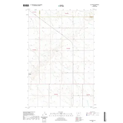
2020 Map of Clay Butte
USGS Topo · Published 2020About this map
Clay Butte and the northern reaches of the Big Sheep Mountains define this high-plains landscape along the border of Dawson and Richland Counties. The terrain is deeply inscribed by a complex drainage network including S Fork Lisk Cr, Middle Fork Burns Cr, and Burns Cr. These intermittent watercourses suggest a rugged environment where land use is dictated by the availability of water and the contours of the land.
Find a feature on this map
27 named features on this map. Tap any name to fly to it.
Don’t see what you’re looking for? This feature index may not catch every label — zoom into the map to look around manually.
Map Details
Editions of this 2020 Clay Butte Map
This is the sole edition of this map. No revisions or reprints were ever made.
Other maps of this area

1909 · Glendive
USGS Topo · 1:250,000

1954 · Glendive
USGS Topo · 1:250,000

1957 · Glendive
USGS Topo · 1:250,000

1958 · Glendive
USGS Topo · 1:250,000

1972 · Red Top
USGS Topo · 1:24,000

1972 · Clay Butte
USGS Topo · 1:24,000

1972 · Enid SE
USGS Topo · 1:24,000

1972 · Kuester Lake
USGS Topo · 1:24,000

1972 · Bloomfield
USGS Topo · 1:24,000

1972 · Enid
USGS Topo · 1:24,000