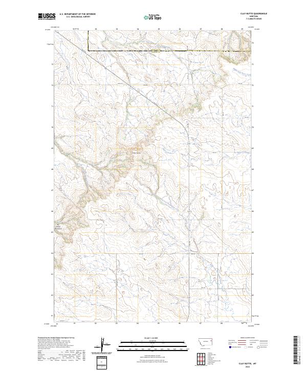
2024 Map of Clay Butte
USGS Topo · Published 2024About this map
The Big Sheep Mountains dominate the southwestern portion of this landscape, where the high point of Clay Butte rises above an intricate system of drainages. Located along the border of Richland and Dawson counties, the map reveals a rugged ranching and utility corridor defined by a network of sectional roads and trails. The terrain is deeply incised by multiple watercourses, including Burns Creek and the North Fork Thirteenmile Creek, which flow through the undulating plains.
Find a feature on this map
27 named features on this map. Tap any name to fly to it.
Don’t see what you’re looking for? This feature index may not catch every label — zoom into the map to look around manually.
Map Details
Editions of this 2024 Clay Butte Map
This is the sole edition of this map. No revisions or reprints were ever made.
Other maps of this area

1909 · Glendive
USGS Topo · 1:250,000

1954 · Glendive
USGS Topo · 1:250,000

1957 · Glendive
USGS Topo · 1:250,000

1958 · Glendive
USGS Topo · 1:250,000

1972 · Red Top
USGS Topo · 1:24,000

1972 · Clay Butte
USGS Topo · 1:24,000

1972 · Enid SE
USGS Topo · 1:24,000

1972 · Kuester Lake
USGS Topo · 1:24,000

1972 · Bloomfield
USGS Topo · 1:24,000

1972 · Enid
USGS Topo · 1:24,000