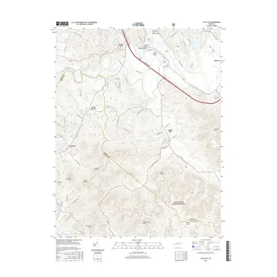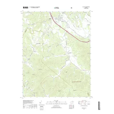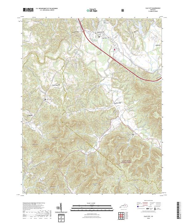
2022 Map of Clay City
USGS Topo · Published 2022About this map
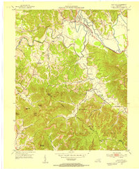
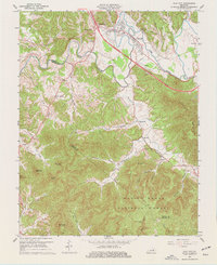
Clay City and Waltersville sit along the banks of the Red River, highlighting the traditional settlement patterns of central Kentucky. This modern survey illustrates how historic corridors like the Wilderness TRL and Spout Springs RD continue to define local geography, connecting rural communities across the Estill Co and Powell Co line. The map is a significant resource for genealogists, documenting numerous family and community burial grounds including the Clay City Eaton Cem, Clark Cem, and Kennon Cem. To the south, the landscape transitions into the protected acreage of the Daniel Boone National Forest, where named peaks like Sugarloaf Mtn and Kaincaid Mtn rise above winding waterways such as Hardwick Cr and Calloway Cr. Notable landmarks like Vaughns Mill reflect the area's agricultural and milling heritage, while the Great Red River North Bend shows the dramatic natural winding of the river as it carves through the local terrain.
Find a feature on this map
101 named features on this map. Tap any name to fly to it.
Don’t see what you’re looking for? This feature index may not catch every label — zoom into the map to look around manually.
Map Details
Editions of this 2022 Clay City Map
This is the sole edition of this map. No revisions or reprints were ever made.
Historical Maps of Stanton Through Time
7 maps found