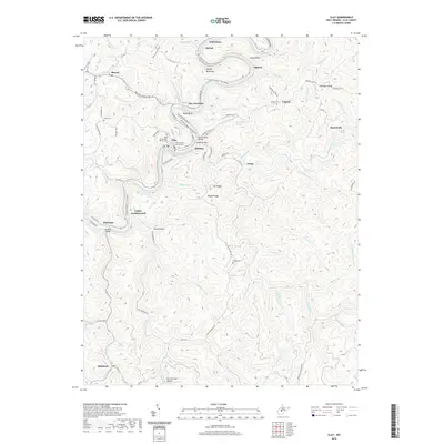
2019 Map of Clay
USGS Topo · Published 2019About this map
The Elk River carves a winding path through this West Virginia landscape, creating dramatic features like Eagle Bend and Spread Bend Mtn. As the seat of Clay County, the town of Clay serves as a central hub, anchored by the Clay County Courthouse and connected by crossings such as the Dundon Bridge. The map details a transition from the river-level settlements like Clay Junction and Hartland to the high ridges of Pisgah Ridge and Longs Ridge.
Find a feature on this map
91 named features on this map. Tap any name to fly to it.
Don’t see what you’re looking for? This feature index may not catch every label — zoom into the map to look around manually.
Map Details
Editions of this 2019 Clay Map
This is the sole edition of this map. No revisions or reprints were ever made.
Other maps of this area

1889 · Nicholas
USGS Topo · 1:125,000

1891 · Nicholas
USGS Topo · 1:125,000

1893 · Sutton
USGS Topo · 1:125,000

1897 · Kanawha Falls
USGS Topo · 1:125,000

1900 · Kanawha Falls
USGS Topo · 1:125,000

1901 · Nicholas
USGS Topo · 1:125,000

1901 · Kanawha Falls
USGS Topo · 1:125,000

1906 · Otter
USGS Topo · 1:62,500

1907 · Otter
USGS Topo · 1:62,500

1908 · Clay
USGS Topo · 1:48,000