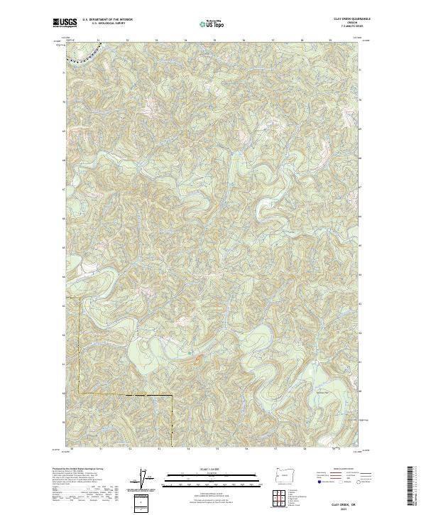
2023 Map of Clay Creek
USGS Topo · Published 2023About this map
The Siuslaw River snakes through this forested section of the Coast Range, defining the lower half of the landscape. This 2023 map captures the intricate drainage network where the river meets dozens of named tributaries like Milk Creek and Bierce Creek. The topographic detail reveals a ridge-and-canyon system dominated by Clay Creek Ridge and Haskins Ridge, rising toward the summit of Letsom Mtn in the southeast.
Find a feature on this map
42 named features on this map. Tap any name to fly to it.
Don’t see what you’re looking for? This feature index may not catch every label — zoom into the map to look around manually.
Map Details
Editions of this 2023 Clay Creek Map
This is the sole edition of this map. No revisions or reprints were ever made.
Other maps of this area

1909 · Elmira
USGS Topo · 1:62,500

1922 · Elmira
USGS Topo · 1:62,500

1941 · Blachly
USGS Topo · 1:62,500

1942 · Elmira
USGS Topo · 1:62,500

1942 · Blachly
USGS Topo · 1:62,500

1942 · Crow
USGS Topo · 1:62,500

1942 · Roman Nose Mtn
USGS Topo · 1:62,500

1945 · Crow
USGS Topo · 1:62,500

1945 · Roman Nose Mtn
USGS Topo · 1:62,500

1953 · Salem
USGS Topo · 1:250,000