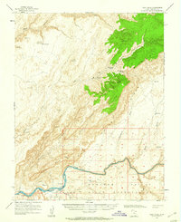
1954 Map of Clay Hills
USGS Topo · Published 1960About this map
San Juan River flows through the southern reaches of this landscape, marking the northern boundary of the Navajo Indian Reservation. This 1950s survey captures a transition point in the high desert, where the river winds past Piute Farms and the Rockhouse near the mouth of Piute Gulch. To the north, the terrain is dominated by the massive rise of the Clay Hills and the Steer Pasture Plateau, dissected by deep drainage systems like Moki Canyon and East Fork Canyon.
Find a feature on this map
39 named features on this map. Tap any name to fly to it.
Don’t see what you’re looking for? This feature index may not catch every label — zoom into the map to look around manually.
Map Details
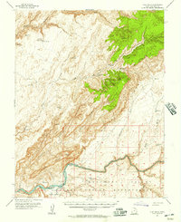
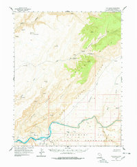
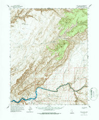
Editions of this 1954 Clay Hills Map
4 editions found
Other maps of this area

1886 · Henry Mountains
USGS Topo · 1:250,000

1892 · Henry Mountains
USGS Topo · 1:250,000

1952 · Mancos Mesa
USGS Topo · 1:62,500

1952 · Natural Bridges
USGS Topo · 1:62,500

1952 · Clay Hills 3 NW
USGS Topo · 1:24,000

1952 · Navajo Mountain 4 NE
USGS Topo · 1:24,000

1952 · Oljeto
USGS Topo · 1:62,500

1953 · Lake Canyon
USGS Topo · 1:62,500

1953 · Mt. Ellsworth
USGS Topo · 1:62,500

1953 · No Mans Mesa
USGS Topo · 1:62,500