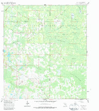
1960 Map of Clay Sink
USGS Topo · Published 1987About this map
Withlacoochee State Forest dominates this Central Florida landscape where Pasco, Hernando, and Sumter counties meet. The settlement of Richloam sits in the northwest near the Atlantic Coast Line railroad, while the eponymous Clay Sink and nearby Bevell Place occupy the interior forest. This 1960 survey illustrates a region defined by its complex hydrology, with the Little Withlacoochee River feeding into a vast network of wetlands including Devils Creek Swamp and Wildcat Swamp.
Find a feature on this map
32 named features on this map. Tap any name to fly to it.
Don’t see what you’re looking for? This feature index may not catch every label — zoom into the map to look around manually.
Map Details
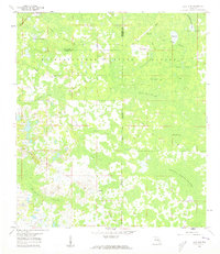
Editions of this 1960 Clay Sink Map
2 editions found
Other maps of this area

1955 · Plant City
USGS Topo · 1:250,000

1955 · Orlando
USGS Topo · 1:250,000

1957 · Orlando
USGS Topo · 1:250,000

1958 · Orlando
USGS Topo · 1:250,000

1958 · Plant City
USGS Topo · 1:250,000

1958 · Webster
USGS Topo · 1:24,000

1958 · Saint Catherine
USGS Topo · 1:24,000

1959 · Plant City
USGS Topo · 1:250,000

1960 · Lacoochee
USGS Topo · 1:24,000

1960 · Branchborough
USGS Topo · 1:24,000