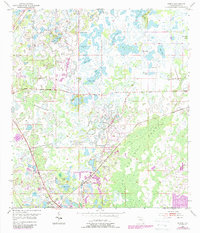
1954 Map of Ehren
USGS Topo · Published 1988About this map
The settlement of Ehren and its surrounding wetlands define this mid-century Florida landscape, showing a region where the terrestrial and aquatic worlds constantly blur. Local history and genealogy interest centers on the Ehren Cem and the nearby Oak Grove Ch, while the vast Cypress Swamp and its drainage through Cypress Creek dominate the eastern half of the sheet. The area's specialized land use is evident in the presence of a Fish Hatchery and the Pilots Country Estates Airport.
Find a feature on this map
24 named features on this map. Tap any name to fly to it.
Don’t see what you’re looking for? This feature index may not catch every label — zoom into the map to look around manually.
Map Details
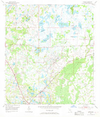
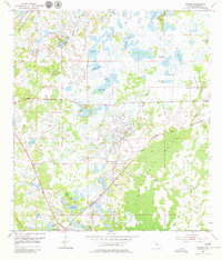
Editions of this 1954 Ehren Map
4 editions found
Other maps of this area

1943 · Odessa
USGS Topo · 1:24,000

1943 · Lutz
USGS Topo · 1:24,000

1944 · Wesley Chapel
USGS Topo · 1:31,680

1944 · Lutz
USGS Topo · 1:31,680

1944 · Odessa
USGS Topo · 1:31,680

1949 · Odessa
USGS Topo · 1:25,000

1954 · Spring Lake
USGS Topo · 1:24,000

1954 · Ehren
USGS Topo · 1:24,000

1954 · San Antonio
USGS Topo · 1:24,000

1954 · Fivay
USGS Topo · 1:24,000