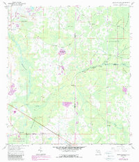
1960 Map of Branchborough
USGS Topo · Published 1987About this map
The Withlacoochee River and Hillsborough River headwaters dominate this Central Florida landscape, where the borders of Pasco, Polk, and Sumter counties meet. This 1960 survey, updated in the late 1980s, documents a transition between established small communities and the preservation of the Green Swamp. The settlement of Branchborough is visible in the southwest, anchored by Branchborough Ch, while the curiously named Port Lonesome sits along the river to the north.
Find a feature on this map
33 named features on this map. Tap any name to fly to it.
Don’t see what you’re looking for? This feature index may not catch every label — zoom into the map to look around manually.
Map Details
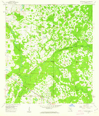
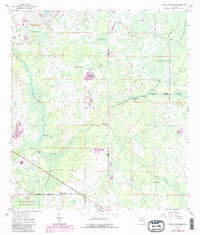
Editions of this 1960 Branchborough Map
4 editions found

Other maps of this area

1944 · Providence
USGS Topo · 1:31,680

1944 · Socrum
USGS Topo · 1:31,680

1947 · Zephyrhills
USGS Topo · 1:24,000

1955 · Plant City
USGS Topo · 1:250,000

1955 · Orlando
USGS Topo · 1:250,000

1957 · Orlando
USGS Topo · 1:250,000

1958 · Orlando
USGS Topo · 1:250,000

1958 · Plant City
USGS Topo · 1:250,000

1959 · Plant City
USGS Topo · 1:250,000

1960 · Lacoochee
USGS Topo · 1:24,000