
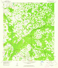
1960 Map of Branchborough
USGS Topo · Published 1962About this map
The Withlacoochee River and Hillsborough River converge in this low-lying region of Florida, defining a landscape of cypress swamps and hammocks at the intersection of Pasco, Polk, and Sumter Counties. In the early 1960s, this area remained largely undeveloped, characterized by remote settlements like Port Lonesome and Cumpressco. The map reveals a network of industrial and transport history through the presence of an Old Railroad Grade and a Borrow Pit, suggesting timber or phosphate activity.
Find a feature on this map
36 named features on this map. Tap any name to fly to it.
Don’t see what you’re looking for? This feature index may not catch every label — zoom into the map to look around manually.
Map Details
Editions of this 1960 Branchborough Map
4 editions found
Other maps of this area

1944 · Providence
USGS Topo · 1:31,680

1944 · Socrum
USGS Topo · 1:31,680

1947 · Zephyrhills
USGS Topo · 1:24,000

1955 · Plant City
USGS Topo · 1:250,000

1955 · Orlando
USGS Topo · 1:250,000

1957 · Orlando
USGS Topo · 1:250,000

1958 · Orlando
USGS Topo · 1:250,000

1958 · Plant City
USGS Topo · 1:250,000

1959 · Plant City
USGS Topo · 1:250,000

1960 · Lacoochee
USGS Topo · 1:24,000