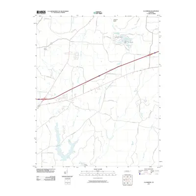
2010 Map of Claybrook
USGS Topo · Published 2010About this map
Salem Cemetery sits in the northwest reaches of this Madison County landscape, marking a quiet point of reference amidst a web of drainage systems. The terrain is defined by the headwaters and branches of numerous waterways, including Gilmers Creek, Cotton Grove Creek, and Trace Creek, which dictate the local topography and the winding paths of rural thoroughfares like Upper Browns Church RD and Potts Chapel RD.
Find a feature on this map
48 named features on this map. Tap any name to fly to it.
Don’t see what you’re looking for? This feature index may not catch every label — zoom into the map to look around manually.
Map Details
Editions of this 2010 Claybrook Map
This is the sole edition of this map. No revisions or reprints were ever made.
Other maps of this area

1950 · Jackson South
USGS Topo · 1:24,000

1950 · Jackson North
USGS Topo · 1:24,000

1951 · Jackson North
USGS Topo · 1:24,000

1953 · Claybrook
USGS Topo · 1:24,000

1953 · Beech Bluff
USGS Topo · 1:24,000

1955 · Luray
USGS Topo · 1:24,000

1955 · Juno
USGS Topo · 1:24,000

1956 · Blytheville
USGS Topo · 1:250,000

1959 · Medina
USGS Topo · 1:24,000

1959 · Blytheville
USGS Topo · 1:250,000