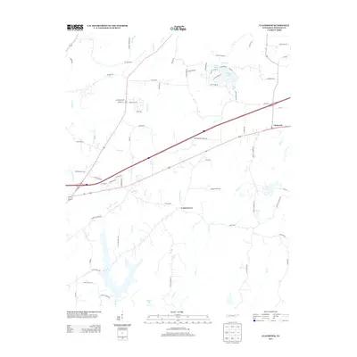
2013 Map of Claybrook
USGS Topo · Published 2013About this map
Claybrook and Cotton Grove serve as the primary community anchors in this part of Madison County, where the landscape is defined by an intricate network of waterways and rural roads. The area is heavily marked by its drainage patterns, with Poplar Cr, Gilmers Cr, and Brown Cr carving through the terrain. A cluster of recreational or residential water bodies, including Blair Lake, Sunset Lake, and Fern Lake, highlights a concentration of development in the northeastern quadrant near Blair Dr and Northshore Dr.
Find a feature on this map
74 named features on this map. Tap any name to fly to it.
Don’t see what you’re looking for? This feature index may not catch every label — zoom into the map to look around manually.
Map Details
Editions of this 2013 Claybrook Map
This is the sole edition of this map. No revisions or reprints were ever made.
Other maps of this area

1950 · Jackson South
USGS Topo · 1:24,000

1950 · Jackson North
USGS Topo · 1:24,000

1951 · Jackson North
USGS Topo · 1:24,000

1953 · Claybrook
USGS Topo · 1:24,000

1953 · Beech Bluff
USGS Topo · 1:24,000

1955 · Luray
USGS Topo · 1:24,000

1955 · Juno
USGS Topo · 1:24,000

1956 · Blytheville
USGS Topo · 1:250,000

1959 · Medina
USGS Topo · 1:24,000

1959 · Blytheville
USGS Topo · 1:250,000