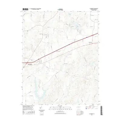
2016 Map of Claybrook
USGS Topo · Published 2016About this map
The community of Claybrook sits at the intersection of local routes and small watercourses in Madison County, while the eastern edge of Jackson begins its expansion into the surrounding countryside. This survey captures a transition from the urban periphery to a landscape defined by creeks and small ponds. The drainage of Cotton Grove Cr and Poplar Cr creates a network of low-lying areas, punctuated by several named bodies of water including Blair Lake, Sunset Lake, and Fern Lake. Local history is anchored by the Salem Cem in the northwest, serving as a landmark for genealogy researchers. The road network, including names like Upper Browns Church Rd and George Anderson Rd, suggests a long-standing agricultural and residential pattern where family names and rural churches remain central to the local identity.
Find a feature on this map
70 named features on this map. Tap any name to fly to it.
Don’t see what you’re looking for? This feature index may not catch every label — zoom into the map to look around manually.
Map Details
Editions of this 2016 Claybrook Map
This is the sole edition of this map. No revisions or reprints were ever made.
Other maps of this area

1950 · Jackson South
USGS Topo · 1:24,000

1950 · Jackson North
USGS Topo · 1:24,000

1951 · Jackson North
USGS Topo · 1:24,000

1953 · Claybrook
USGS Topo · 1:24,000

1953 · Beech Bluff
USGS Topo · 1:24,000

1955 · Luray
USGS Topo · 1:24,000

1955 · Juno
USGS Topo · 1:24,000

1956 · Blytheville
USGS Topo · 1:250,000

1959 · Medina
USGS Topo · 1:24,000

1959 · Blytheville
USGS Topo · 1:250,000