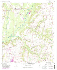
1957 Map of Clayhatchee
USGS Topo · Published 1981About this map
The Choctawhatchee River winds through this rural landscape at the intersection of Dale, Houston, and Geneva Counties. The settlement of Clayhatchee sits in the northwest, characterized by a network of local roads and several spiritual centers like Providence Ch and Shiloh Cem. To the east, Wicksburg serves as a local hub, anchored by the Wicksburg Sch and Goodwater Ch.
Find a feature on this map
36 named features on this map. Tap any name to fly to it.
Don’t see what you’re looking for? This feature index may not catch every label — zoom into the map to look around manually.
Map Details
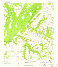
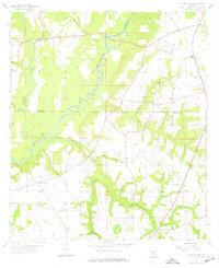
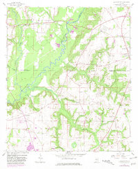
Editions of this 1957 Clayhatchee Map
4 editions found
Other maps of this area

1942 · Enterprise
USGS Topo · 1:125,000

1948 · Ozark
USGS Topo · 1:62,500

1950 · Ozark
USGS Topo · 1:62,500

1950 · Enterprise
USGS Topo · 1:62,500

1953 · Dothan
USGS Topo · 1:250,000

1954 · Dothan
USGS Topo · 1:250,000

1955 · Dothan
USGS Topo · 1:250,000

1957 · Malvern
USGS Topo · 1:24,000

1957 · Geneva
USGS Topo · 1:62,500

1957 · Hartford
USGS Topo · 1:62,500