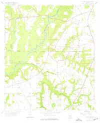
1957 Map of Clayhatchee
USGS Topo · Published 1977About this map
The Choctawhatchee River defines the central topography of this Wiregrass region, where the boundaries of Dale, Houston, and Geneva counties converge. In the late 1950s, the landscape was a mix of small rural communities and expanding military infrastructure, evidenced by Fort Rucker Landing Field No 2 in the northeast. The settlement of Clayhatchee sits near the river's northern bend, while Wicksburg serves as a secondary hub further east, complete with the Wicksburg Sch.
Find a feature on this map
37 named features on this map. Tap any name to fly to it.
Don’t see what you’re looking for? This feature index may not catch every label — zoom into the map to look around manually.
Map Details
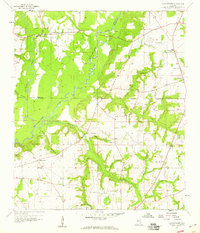
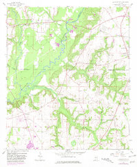
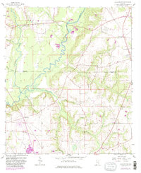
Editions of this 1957 Clayhatchee Map
4 editions found
Other maps of this area

1942 · Enterprise
USGS Topo · 1:125,000

1948 · Ozark
USGS Topo · 1:62,500

1950 · Ozark
USGS Topo · 1:62,500

1950 · Enterprise
USGS Topo · 1:62,500

1953 · Dothan
USGS Topo · 1:250,000

1954 · Dothan
USGS Topo · 1:250,000

1955 · Dothan
USGS Topo · 1:250,000

1957 · Malvern
USGS Topo · 1:24,000

1957 · Geneva
USGS Topo · 1:62,500

1957 · Hartford
USGS Topo · 1:62,500