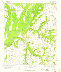
1957 Map of Clayhatchee
USGS Topo · Published 1959About this map
The Choctawhatchee River defines the landscape of the Wiregrass region in the late 1950s, winding through the borders of Dale, Houston, and Geneva counties. This area is characterized by a dense network of rural landmarks, where community life centered around places like Clayhatchee, High Bluff, and Wicksburg. The map reveals a high concentration of country churches, including Antioch Ch, Bethel Ch, and Tabernacle Ch, alongside generational sites like Macedonia Cem. Military activity is evident at the Fort Rucker Landing Field No 2, while ancient history is marked by the presence of an Indian Mound overlooking the river. The intricate drainage system, featuring Claybank Creek and Hurricane Creek, highlights the reliance on local waterways before the expansion of more modern infrastructure.
Find a feature on this map
36 named features on this map. Tap any name to fly to it.
Don’t see what you’re looking for? This feature index may not catch every label — zoom into the map to look around manually.
Map Details
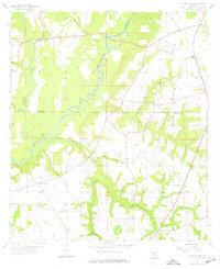
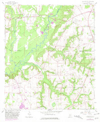
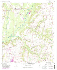
Editions of this 1957 Clayhatchee Map
4 editions found
Other maps of this area

1942 · Enterprise
USGS Topo · 1:125,000

1948 · Ozark
USGS Topo · 1:62,500

1950 · Ozark
USGS Topo · 1:62,500

1950 · Enterprise
USGS Topo · 1:62,500

1953 · Dothan
USGS Topo · 1:250,000

1954 · Dothan
USGS Topo · 1:250,000

1955 · Dothan
USGS Topo · 1:250,000

1957 · Malvern
USGS Topo · 1:24,000

1957 · Geneva
USGS Topo · 1:62,500

1957 · Hartford
USGS Topo · 1:62,500