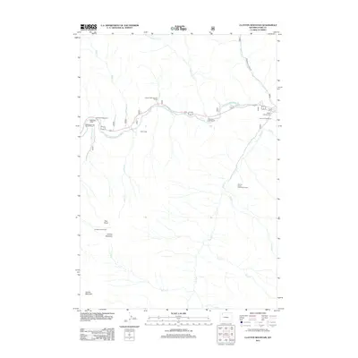
2012 Map of Clayton Mountain
USGS Topo · Published 2012About this map
Aspen Creek Summer Homes stands as the primary residential anchor in this high-elevation mountain terrain within Park County. The landscape is defined by the drainage systems of Aspen Cr and Blackwater Cr, which carve through the wilderness of the Shoshone National Forest area. This 2012 survey illustrates the sparse, seasonal settlement patterns typical of Wyoming's western corridor, where land use is concentrated around water sources and narrow access points. The presence of these summer homes suggests a localized economy built around seasonal recreation and forest access, providing a clear picture of human footprint in an otherwise remote region of the Absaroka Range.
Find a feature on this map
3 named features on this map. Tap any name to fly to it.
Don’t see what you’re looking for? This feature index may not catch every label — zoom into the map to look around manually.
Map Details
Editions of this 2012 Clayton Mountain Map
This is the sole edition of this map. No revisions or reprints were ever made.
Other maps of this area

1893 · Ishawooa
USGS Topo · 1:125,000

1895 · Ishawooa
USGS Topo · 1:125,000

1896 · Crandall Creek
USGS Topo · 1:125,000

1899 · Crandall
USGS Topo · 1:125,000

1899 · Ishawooa
USGS Topo · 1:125,000

1955 · Cody
USGS Topo · 1:250,000

1956 · Sunlight Peak
USGS Topo · 1:62,500

1956 · Dead Indian Peak
USGS Topo · 1:62,500

1958 · Cody
USGS Topo · 1:250,000

1962 · Cody
USGS Topo · 1:250,000