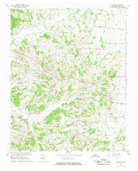
1966 Map of Clayton
USGS Topo · Published 1968About this map
The State Line between Tennessee and Kentucky runs along the northern edge of this Obion County landscape, where the headwaters of Reelfoot Creek and its various branches, including North Reelfoot Creek and Tull Creek, carve through the terrain. The map captures a transition in local settlement patterns, notably featuring both Fremont and Old Fremont, alongside other small communities like Clayton, Protemus, and Beech.
Find a feature on this map
57 named features on this map. Tap any name to fly to it.
Don’t see what you’re looking for? This feature index may not catch every label — zoom into the map to look around manually.
Map Details
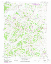
Editions of this 1966 Clayton Map
2 editions found
Other maps of this area

1925 · Reelfoot Lake
USGS Topo · 1:62,500

1939 · Reelfoot Lake
USGS Topo · 1:62,500

1939 · Hickman
USGS Topo · 1:62,500

1939 · Bayouville
USGS Topo · 1:62,500

1950 · Obion
USGS Topo · 1:24,000

1950 · Rives
USGS Topo · 1:24,000

1951 · Obion
USGS Topo · 1:24,000

1951 · Rives
USGS Topo · 1:24,000

1951 · Cayce
USGS Topo · 1:24,000

1951 · Bondurant
USGS Topo · 1:24,000