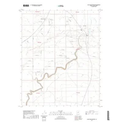
2018 Map of Clear Creek Reservoir
USGS Topo · Published 2018About this map
Clear Creek winds through the deep canyons and arid plateaus of Navajo County, defining the local geography as it flows toward its confluence with the Little Colorado River. This 2018 survey documents a landscape marked by modern residential growth and recreational water management, centered around the Winslow West settlement. The arterial importance of water in this high desert environment is evident in features like the Clear Cr Reservoir and smaller livestock water sources such as Corbet Tank and L Tank.
Find a feature on this map
46 named features on this map. Tap any name to fly to it.
Don’t see what you’re looking for? This feature index may not catch every label — zoom into the map to look around manually.
Map Details
Editions of this 2018 Clear Creek Reservoir Map
This is the sole edition of this map. No revisions or reprints were ever made.
Other maps of this area

1883 · Tusayan
USGS Topo · 1:250,000

1886 · Tusayan
USGS Topo · 1:250,000

1886 · Holbrook
USGS Topo · 1:250,000

1893 · Holbrook
USGS Topo · 1:250,000

1947 · Flagstaff
USGS Topo · 1:250,000

1954 · Winslow
USGS Topo · 1:62,500

1954 · Winslow 4 SW
USGS Topo · 1:24,000

1954 · Winslow 4 SE
USGS Topo · 1:24,000

1954 · Flagstaff
USGS Topo · 1:250,000

1954 · Holbrook
USGS Topo · 1:250,000