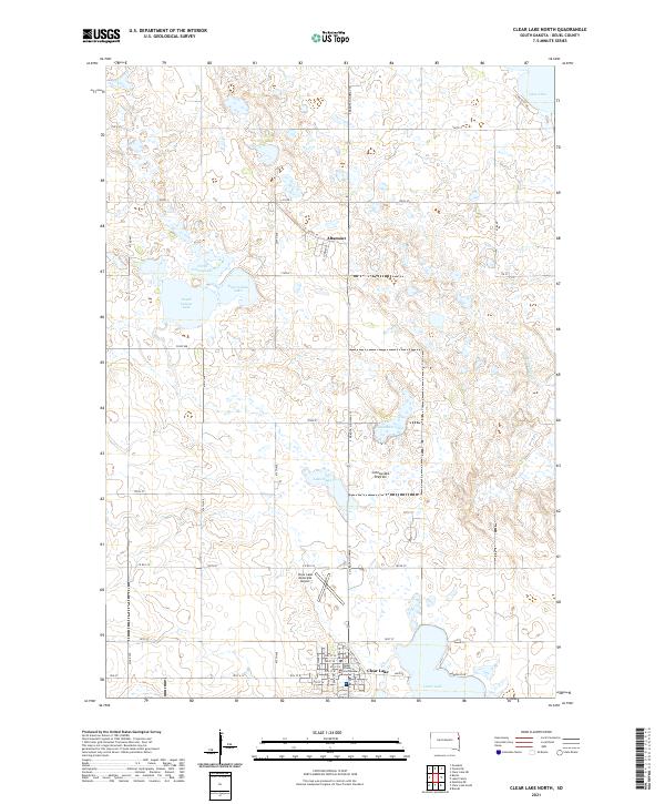
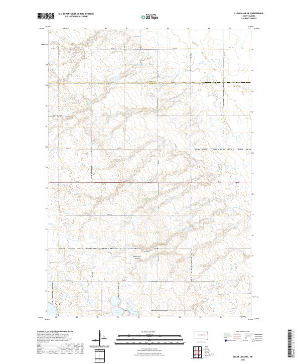
2021 Map of Clear Lake North
USGS Topo · Published 2021About this map
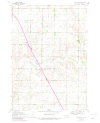
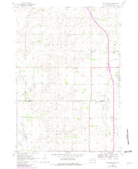
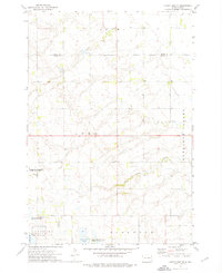
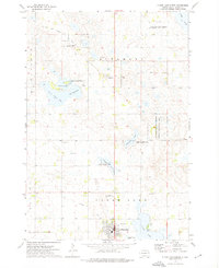
Clear Lake anchors the southern portion of this upland survey, serving as a focal point for the surrounding Deuel County Courthouse and the nearby Clear Lake Municipal Airport. The landscape is dominated by the Coteau des Prairies, a high plateau characterized by a dense concentration of glacial lakes and wetlands. To the north, the cluster of North Coteau Lake, East Coteau Lake, and South Coteau Lake illustrates the complex drainage and hydrology of the region, while smaller bodies like Ketchum Lake and Lake Sutton dot the sections between the small settlement of Altamont and the county seat.
Find a feature on this map
41 named features on this map. Tap any name to fly to it.
Don’t see what you’re looking for? This feature index may not catch every label — zoom into the map to look around manually.
Map Details
Editions of this 2021 Clear Lake North Map
This is the sole edition of this map. No revisions or reprints were ever made.
Historical Maps of Altamont Through Time
17 maps found
1967 Gary NW
Deuel County, SD
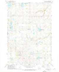
1970 Bemis
Deuel County, SD
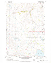
1970 Clear Lake South
Deuel County, SD
1970 Estelline NE
Deuel County, SD
1970 Estelline SE
Deuel County, SD
1973 Clear Lake NE
Deuel County, SD
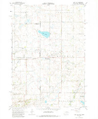
1973 Clear Lake North
Deuel County, SD
1973 Lake Francis
Deuel County, SD
1973 Tunerville
Deuel County, SD
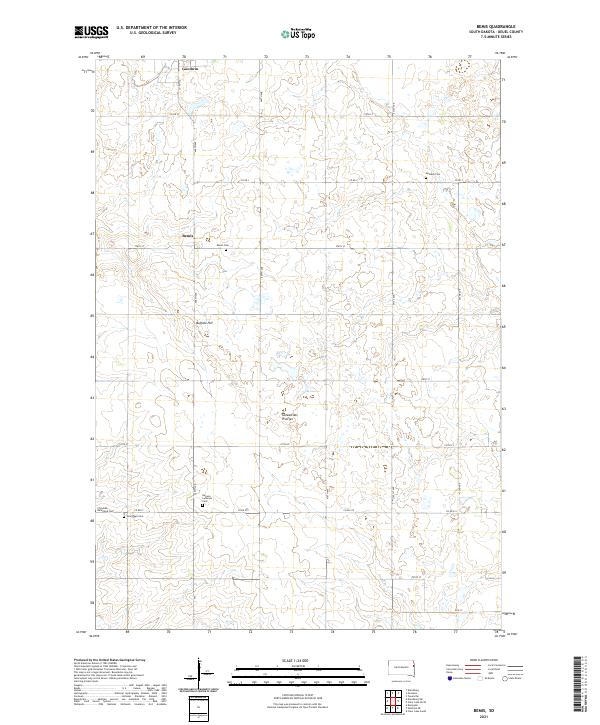
2021 Bemis
Deuel County, SD
2021 Clear Lake NE
Deuel County, SD
2021 Clear Lake North
Deuel County, SD
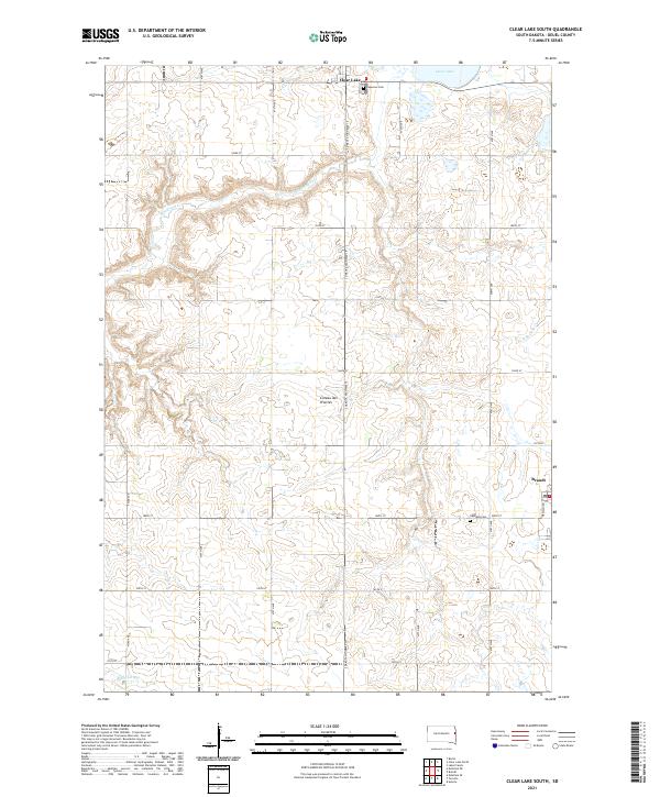
2021 Clear Lake South
Deuel County, SD
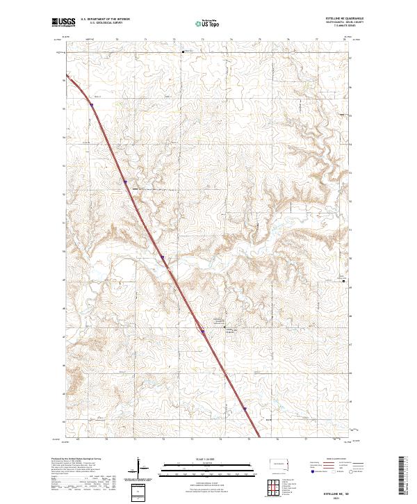
2021 Estelline NE
Deuel County, SD
2021 Estelline SE
Deuel County, SD
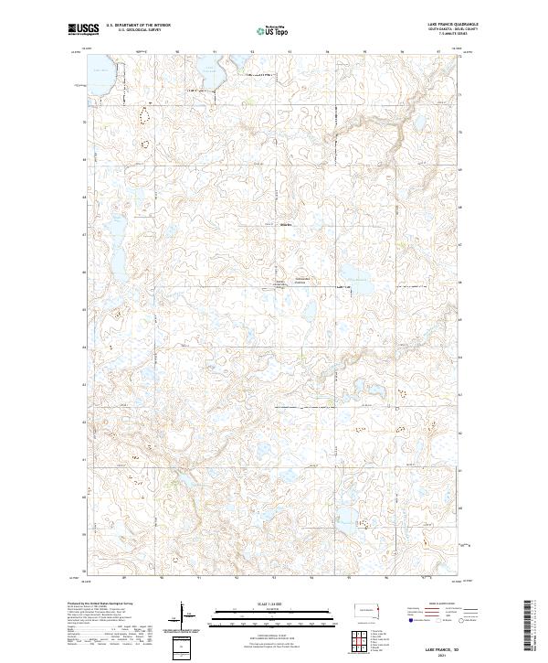
2021 Lake Francis
Deuel County, SD
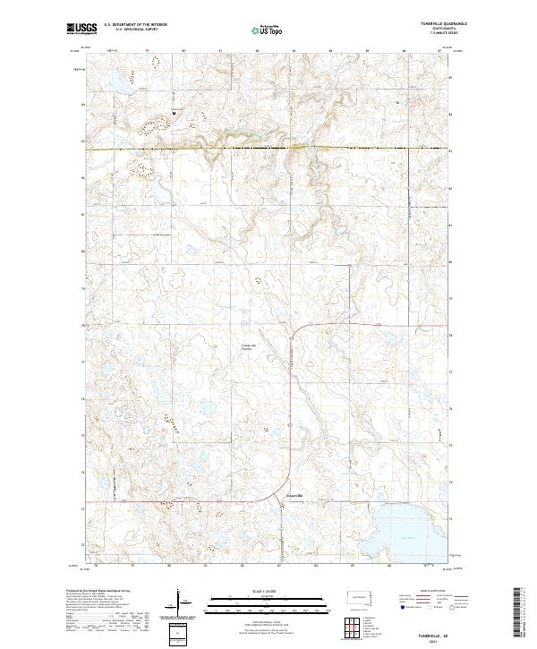
2021 Tunerville
Deuel County, SD
Featured Locations
- Altamont Township, SD
- Clear Lake Township, SD
- Havana Township, SD
- Clear Lake, Clear Lake Township
- Altamont, Altamont Township