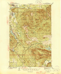
1944 Map of Clear Lake
USGS Topo · Published 1944About this map
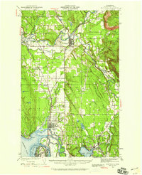
Sedro-Woolley and the upper Skagit River anchor the northern reaches of this mid-century survey, illustrating a landscape defined by the timber and transport industries of Washington. The Northern Pacific RR cuts a path through the western corridor, connecting the settlements of Big Lake, Montborne, and McMurray. Inland, a specialized Logging RR winds through the drainages of Gilligan Creek, highlighting the importance of the lumber trade to the local economy.
Find a feature on this map
39 named features on this map. Tap any name to fly to it.
Don’t see what you’re looking for? This feature index may not catch every label — zoom into the map to look around manually.
Map Details
Editions of this 1944 Clear Lake Map
This is the sole edition of this map. No revisions or reprints were ever made.
Other maps of this area
1899 · Stillaguamish
USGS Topo · 1:125,000
1901 · Stilaguamish
USGS Topo · 1:125,000
1909 · Mt Baker
USGS Topo · 1:192,000

1911 · Mount Vernon
USGS Topo · 1:125,000
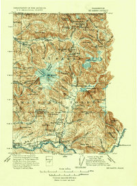
1915 · Mt. Baker
USGS Topo · 1:250,000
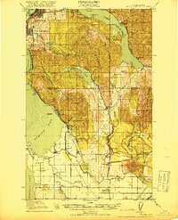
1918 · Samish Lake
USGS Topo · 1:62,500
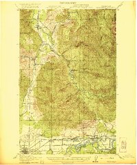
1921 · Wickersham
USGS Topo · 1:62,500
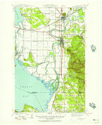
1940 · Mt Vernon
USGS Topo · 1:62,500
1941 · Marysville
USGS Topo · 1:62,500
1943 · Marysville
USGS Topo · 1:62,500