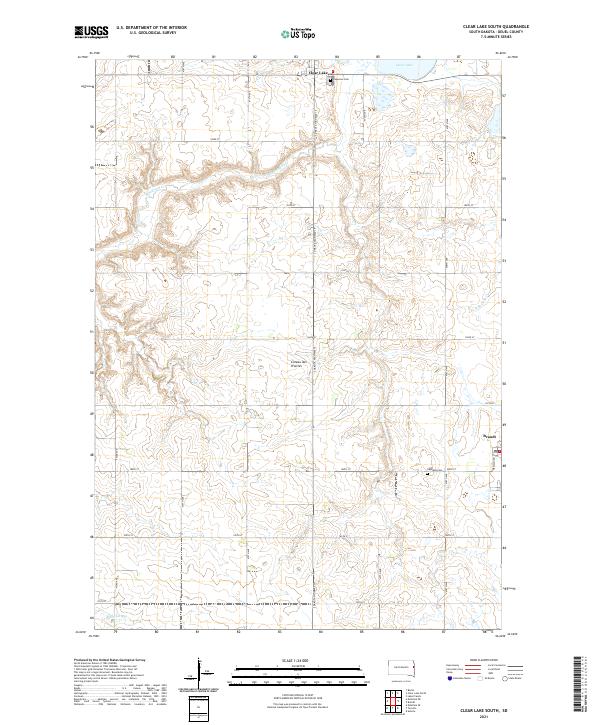
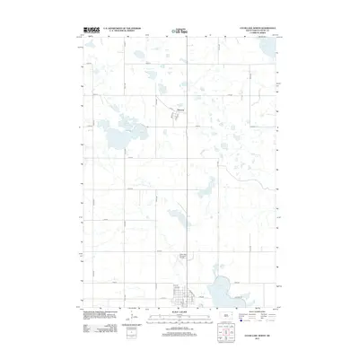
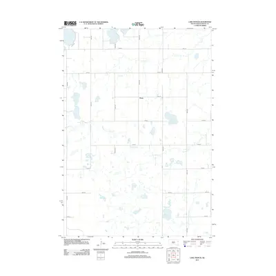
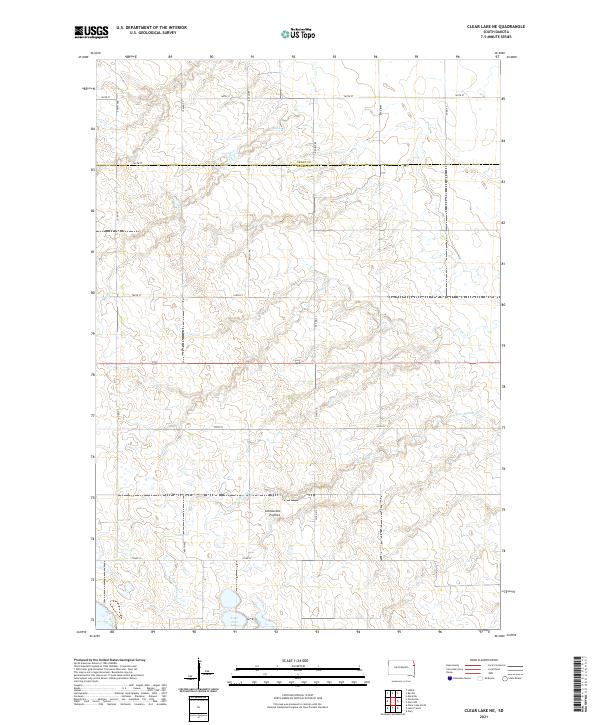
2021 Map of Clear Lake South
USGS Topo · Published 2021About this map
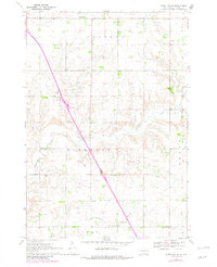
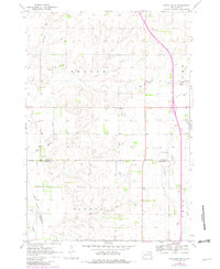
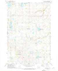
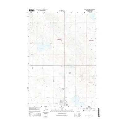
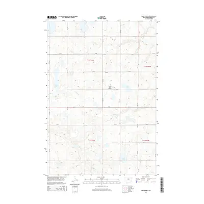
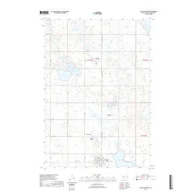
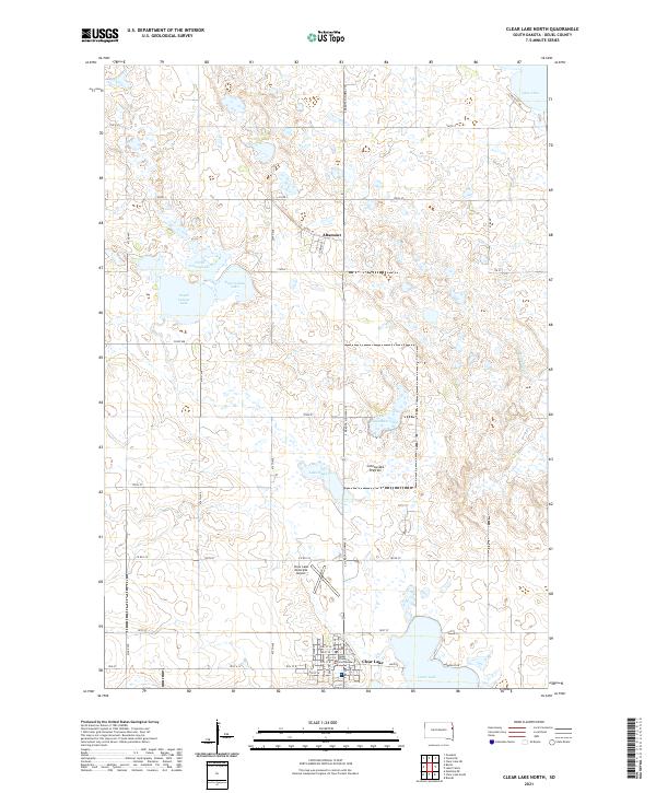
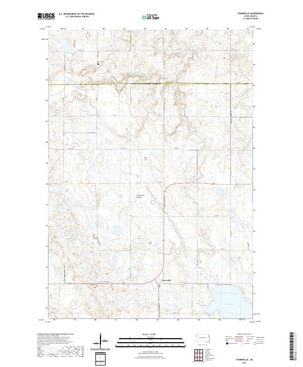
Coteau des Prairies defines the physical character of this Deuel County landscape, where the high plateau topography directs the flow of local waterways. The southern outskirts of Clear Lake occupy the northern edge of the map, while the small settlement of Brandt sits near the eastern boundary along the local road network. This 2021 survey illustrates a transition from the elevated prairie lands into the drainages of Hidewood Cr and N Br Cobb Cr. For those tracing local history, the map precisely identifies the locations of Lakeview Cem and Highland Cem, serving as important landmarks for genealogical research. The region is predominantly agricultural, organized by a rigid grid of range and township lines that includes the intersection of S Dakota Highway 15 and numerous numbered roads such as 188th St.
Find a feature on this map
31 named features on this map. Tap any name to fly to it.
Don’t see what you’re looking for? This feature index may not catch every label — zoom into the map to look around manually.
Map Details
Editions of this 2021 Clear Lake South Map
This is the sole edition of this map. No revisions or reprints were ever made.
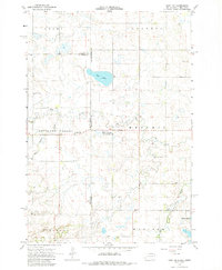
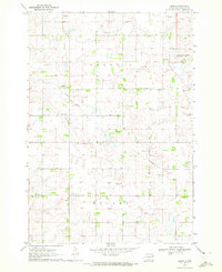
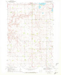
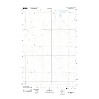
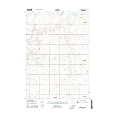
Historical Maps of Clear Lake Through Time
41 maps found
1967 Gary NW
Deuel County, SD
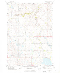
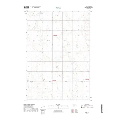
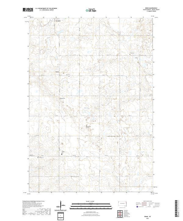
1970 Bemis
Deuel County, SD
1970 Clear Lake South
Deuel County, SD
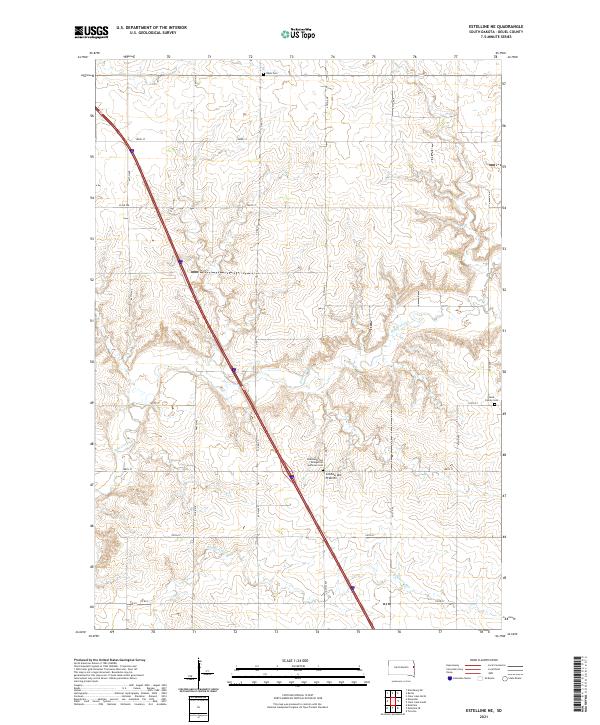
1970 Estelline NE
Deuel County, SD
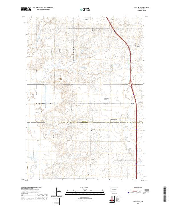
1970 Estelline SE
Deuel County, SD
1973 Clear Lake NE
Deuel County, SD
1973 Clear Lake North
Deuel County, SD
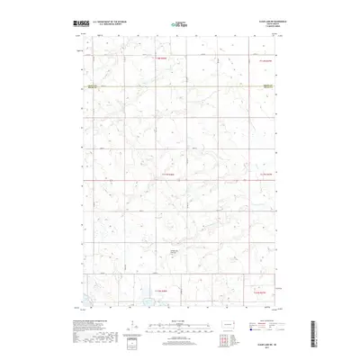
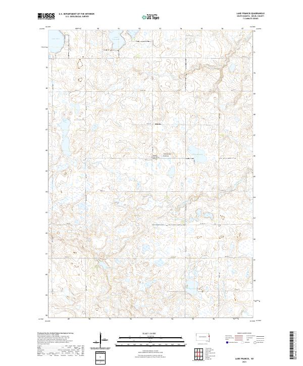
1973 Lake Francis
Deuel County, SD
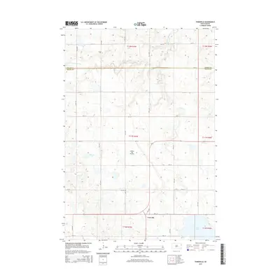
1973 Tunerville
Deuel County, SD
2012 Bemis
Deuel County, SD
2012 Clear Lake NE
Deuel County, SD
2012 Clear Lake North
Deuel County, SD
2012 Clear Lake South
Deuel County, SD
2012 Estelline NE
Deuel County, SD
2012 Estelline SE
Deuel County, SD
2012 Lake Francis
Deuel County, SD
2012 Tunerville
Deuel County, SD
2015 Bemis
Deuel County, SD
2015 Clear Lake NE
Deuel County, SD
2015 Clear Lake North
Deuel County, SD
2015 Clear Lake South
Deuel County, SD
2015 Estelline NE
Deuel County, SD
2015 Estelline SE
Deuel County, SD
2015 Lake Francis
Deuel County, SD
2015 Tunerville
Deuel County, SD
2017 Bemis
Deuel County, SD
2017 Clear Lake NE
Deuel County, SD
2017 Clear Lake North
Deuel County, SD
2017 Clear Lake South
Deuel County, SD
2017 Estelline NE
Deuel County, SD
2017 Estelline SE
Deuel County, SD
2017 Lake Francis
Deuel County, SD
2017 Tunerville
Deuel County, SD
2021 Bemis
Deuel County, SD
2021 Clear Lake NE
Deuel County, SD
2021 Clear Lake North
Deuel County, SD
2021 Clear Lake South
Deuel County, SD
2021 Estelline NE
Deuel County, SD
2021 Estelline SE
Deuel County, SD
2021 Lake Francis
Deuel County, SD
2021 Tunerville
Deuel County, SD
Featured Locations
- Scandinavia Township, SD
- Blom Township, SD
- Havana Township, SD
- Clear Lake, Clear Lake Township
- Brandt, Norden Township