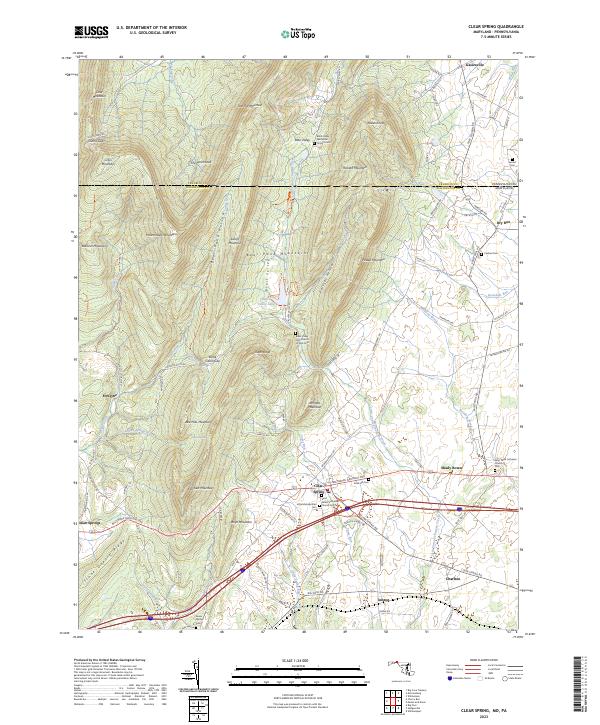
2023 Map of Clear Spring
USGS Topo · Published 2023About this map
Clear Spring sits as a central hub in this western Maryland landscape, where the Baltimore National Pike cuts through the valley floor. The map documents a corridor of long-standing community landmarks, from the Saint Peters Lutheran Church Cem to the Rose Hill Cem on the town's eastern edge. To the north, the terrain rises sharply into the Bear Pond Mountains and Rickard Mountain, separated by the deep cleft of Polecat Hollow.
Find a feature on this map
88 named features on this map. Tap any name to fly to it.
Don’t see what you’re looking for? This feature index may not catch every label — zoom into the map to look around manually.
Map Details
Editions of this 2023 Clear Spring Map
This is the sole edition of this map. No revisions or reprints were ever made.
Other maps of this area

1899 · Hancock
USGS Topo · 1:62,500

1900 · Mercersburg
USGS Topo · 1:62,500

1901 · Hancock
USGS Topo · 1:62,500

1902 · Mercersburg
USGS Topo · 1:62,500

1912 · Williamsport
USGS Topo · 1:62,500

1925 · Needmore
USGS Topo · 1:48,000

1935 · Needmore
USGS Topo · 1:62,500

1939 · Needmore
USGS Topo · 1:62,500

1942 · Hagerstown
USGS Topo · 1:125,000

1943 · Hagerstown
USGS Topo · 1:125,000