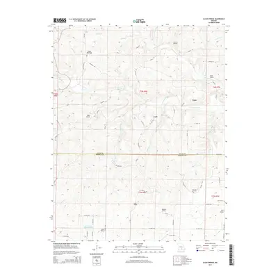
2015 Map of Clear Springs
USGS Topo · Published 2015About this map
The N Prong Jacks Fork and S Prong Jacks Fork define the drainage patterns of this Texas and Howell County landscape. Small rural communities and named locales such as Clear Springs, Guild, and Hattie are connected by a network of county roads, including Bradford Rd and Stillhouse Rd. The southern portion of the map transitions into the Howell County line, featuring the larger Sims Valley area and the Sims Valley Community Lake.
Find a feature on this map
65 named features on this map. Tap any name to fly to it.
Don’t see what you’re looking for? This feature index may not catch every label — zoom into the map to look around manually.
Map Details
Editions of this 2015 Clear Springs Map
This is the sole edition of this map. No revisions or reprints were ever made.
Other maps of this area

1945 · Willow Springs
USGS Topo · 1:62,500

1945 · Montier
USGS Topo · 1:62,500

1945 · Clear Springs
USGS Topo · 1:62,500

1946 · Summersville
USGS Topo · 1:62,500

1948 · Clear Springs
USGS Topo · 1:62,500

1948 · Montier
USGS Topo · 1:62,500

1948 · Willow Springs
USGS Topo · 1:62,500

1948 · Summersville
USGS Topo · 1:62,500

1949 · Rolla
USGS Topo · 1:250,000

1953 · Rolla
USGS Topo · 1:250,000