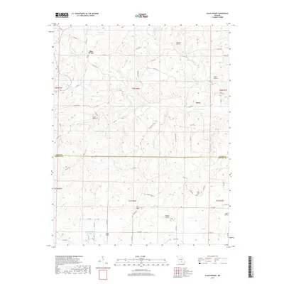
2017 Map of Clear Springs
USGS Topo · Published 2017About this map
The boundary between Texas and Howell Counties bisects this landscape, which is defined by the headwaters of the Jacks Fork river system. Small communities such as Clear Springs and Hattie occupy the high ground between deeply carved drainages like Harmon Hollow and Tracy Hollow. The drainage pattern is complex, with the S Prong Jacks Fork and its tributaries, including Stillhouse Br and Flinger Br, carving through the Ozark plateau. To the south, the terrain levels slightly near the Sims Valley State Community Lake and the settlement of Scales Valley. This 2017 survey documents the modern road network, including State Hwy Y and Hwy NN, which follow the winding ridges. Genealogists may find interest in rural burial sites like New Salem Cem and Gill Cem, which remain as markers of the area's long-standing residential history.
Find a feature on this map
71 named features on this map. Tap any name to fly to it.
Don’t see what you’re looking for? This feature index may not catch every label — zoom into the map to look around manually.
Map Details
Editions of this 2017 Clear Springs Map
This is the sole edition of this map. No revisions or reprints were ever made.
Other maps of this area

1945 · Willow Springs
USGS Topo · 1:62,500

1945 · Montier
USGS Topo · 1:62,500

1945 · Clear Springs
USGS Topo · 1:62,500

1946 · Summersville
USGS Topo · 1:62,500

1948 · Clear Springs
USGS Topo · 1:62,500

1948 · Montier
USGS Topo · 1:62,500

1948 · Willow Springs
USGS Topo · 1:62,500

1948 · Summersville
USGS Topo · 1:62,500

1949 · Rolla
USGS Topo · 1:250,000

1953 · Rolla
USGS Topo · 1:250,000