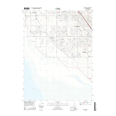
2014 Map of Clearfield
USGS Topo · Published 2014About this map
The eastern shores of the Great Salt Lake meet the rapidly expanding residential corridors of Davis County in this 2014 survey. This portion of Utah's Wasatch Front shows the established boundaries of Clearfield, Syracuse, and Layton, where suburban growth follows a rigid grid system that transitions abruptly into the marshes of Farmington Bay. The map provides specific detail for local researchers, identifying the W Point Memorial Cem and Clearfield City Cem, along with the Syracuse Memorial Park. While the western half is dominated by the alkaline flats and open waters of the lake, the eastern half is defined by a dense network of residential streets and arterial roads like W Antelope Dr, illustrating the 21st-century development at the foot of the Wasatch Range.
Find a feature on this map
84 named features on this map. Tap any name to fly to it.
Don’t see what you’re looking for? This feature index may not catch every label — zoom into the map to look around manually.
Map Details
Editions of this 2014 Clearfield Map
This is the sole edition of this map. No revisions or reprints were ever made.
Other maps of this area

1885 · Salt Lake
USGS Topo · 1:250,000

1885 · Tooele Valley
USGS Topo · 1:250,000

1925 · Ft. Douglas
USGS Topo · 1:125,000

1928 · Ft. Douglas
USGS Topo · 1:125,000

1952 · Saltair NE
USGS Topo · 1:24,000

1952 · Farmington
USGS Topo · 1:24,000

1953 · Tooele
USGS Topo · 1:250,000

1954 · Antelope Island
USGS Topo · 1:24,000

1954 · Antelope Island North
USGS Topo · 1:24,000

1954 · Salt Lake City
USGS Topo · 1:250,000