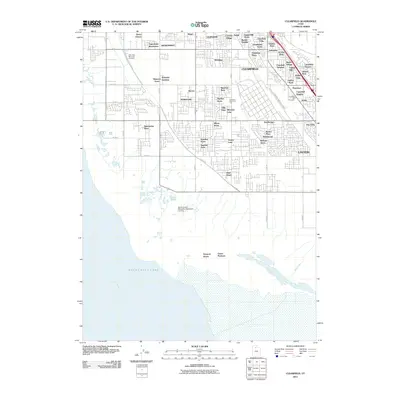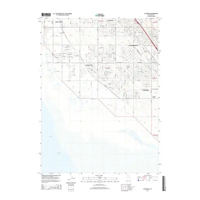
1991 Map of Clearfield
USGS Topo · Published 1991About this map
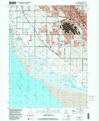
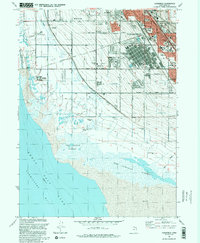
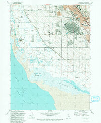
Hill Air Force Base dominates the eastern landscape of this Davis County coastal area, while the expansive West Layton Marshes and West Kaysville Marshes define the transition to the Great Salt Lake. The settlement patterns reflect the rapid growth of the late 20th century, where residential grids in Clearfield, Syracuse, and Layton press against large-scale industrial and military sites. The presence of the Freeport Center near the rail corridor illustrates the region's importance as a logistics hub. Further inland, genealogists will find local landmarks such as the West Point Cemetery and a network of neighborhood schools like Pioneer Sch and Wasatch Sch. The map also details the complex water management required for this arid shoreline, from the Hooper Canal and various aqueducts to the protected wetlands of the Howard Slough State Waterfowl Management Area.
Find a feature on this map
43 named features on this map. Tap any name to fly to it.
Don’t see what you’re looking for? This feature index may not catch every label — zoom into the map to look around manually.
Map Details
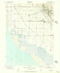
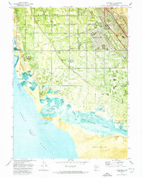
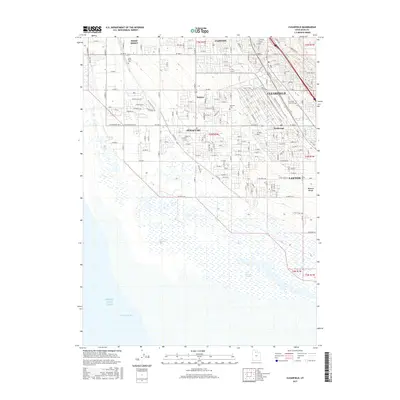
Editions of this 1991 Clearfield Map
2 editions found
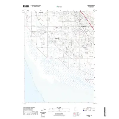
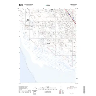
Historical Maps of Layton Through Time
9 maps found