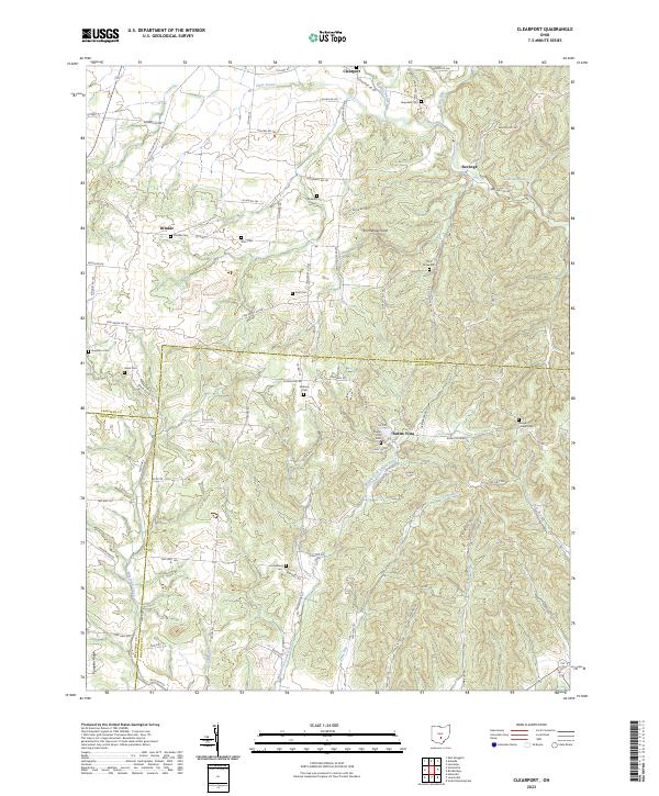
2023 Map of Clearport
USGS Topo · Published 2023About this map
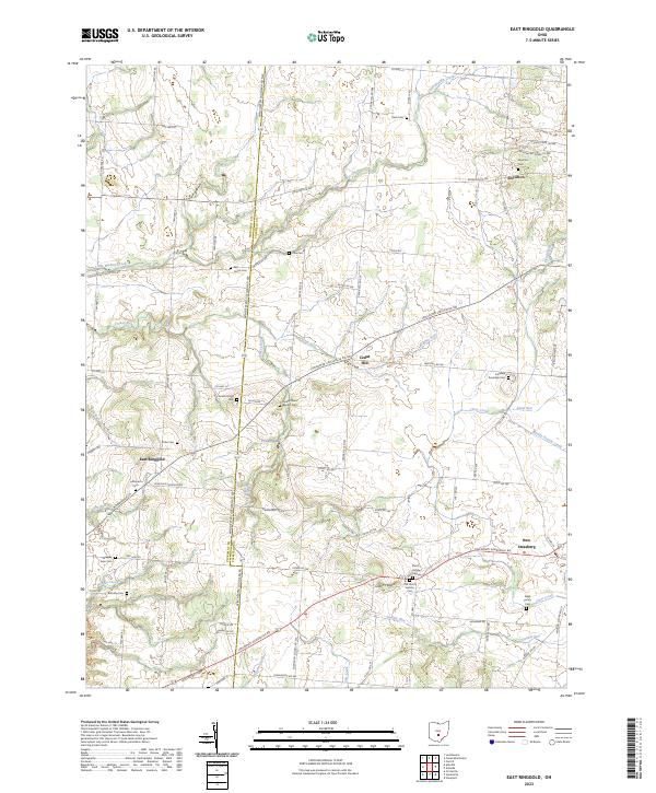
Clearport and the nearby hamlet of Revenge anchor this section of Fairfield County, where the landscape transitions into the hills of Hocking and Pickaway. The topography is defined by the carved valleys of Clear Creek and Arney Run, rising to landmarks like Emmanuel Knob and the long stretch of Pumpkin Ridge in the south. This modern survey reveals a dense concentration of local heritage sites, particularly family and community burial grounds such as Hopewell Cem and Morgan Chapel Cem.
Find a feature on this map
73 named features on this map. Tap any name to fly to it.
Don’t see what you’re looking for? This feature index may not catch every label — zoom into the map to look around manually.
Map Details
Editions of this 2023 Clearport Map
This is the sole edition of this map. No revisions or reprints were ever made.
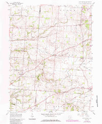
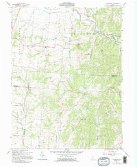
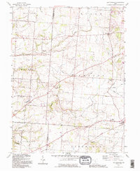
Historical Maps of Drinkle Through Time
5 maps found
Featured Locations
- Salt Creek Township, OH
- Clearcreek Township, OH
- Clearport, Madison Township
- Revenge, Madison Township
- Drinkle, Clearcreek Township