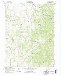
1961 Map of Clearport
USGS Topo · Published 1995About this map
The borderlands of Fairfield, Pickaway, and Hocking Counties reveal a landscape defined by the drainage of Salt Creek and the winding course of Clear Creek. This 1961 survey, based on 1960 aerial photography, captures the rural character of Madison and Perry townships before significant modern development. The region is dotted with numerous small family and community burial grounds, such as Drinkle Cem and Augustus Cem, reflecting generations of settlement along the local ridges and hollows.
Find a feature on this map
41 named features on this map. Tap any name to fly to it.
Don’t see what you’re looking for? This feature index may not catch every label — zoom into the map to look around manually.
Map Details
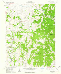
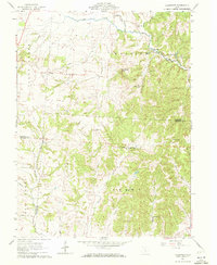
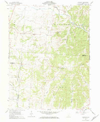
Editions of this 1961 Clearport Map
4 editions found
Other maps of this area

1906 · Chillicothe
USGS Topo · 1:62,500

1907 · Lancaster
USGS Topo · 1:62,500

1908 · Chillicothe
USGS Topo · 1:62,500

1909 · Lancaster
USGS Topo · 1:62,500

1910 · Laurelville
USGS Topo · 1:62,500

1912 · Laurelville
USGS Topo · 1:62,500

1914 · Circleville
USGS Topo · 1:62,500

1943 · Circleville
USGS Topo · 1:62,500

1944 · Laurelville
USGS Topo · 1:62,500

1947 · Columbus
USGS Topo · 1:250,000