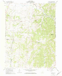
1961 Map of Clearport
USGS Topo · Published 1984About this map
The boundary between Madison and Perry townships is defined by a dense network of upland drainage and small rural communities. The small settlement of Clearport sits near the northern edge, where Clear Creek and Muddy Prairie Run converge. The topography is notably marked by the prominent Emmanuel Knob, a high point overlooking the Pipeline that traverses the central landscape. Local life in the early 1960s was centered around numerous country churches and family-named cemeteries, such as Hopewell Ch, Bethany Ch, and the Kern Cem. To the southeast, the terrain becomes increasingly dissected by waterways like Jack Run and Stump Run, where Morgan Chapel and Stump Run Ch served the outlying farmsteads. The presence of Lake Romona and Camp Indianola suggests the area's role in local recreation alongside its agricultural and industrial features like a Quarry and scattered Gas Well sites.
Find a feature on this map
43 named features on this map. Tap any name to fly to it.
Don’t see what you’re looking for? This feature index may not catch every label — zoom into the map to look around manually.
Map Details
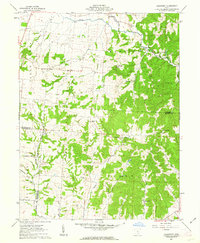
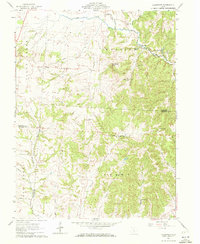
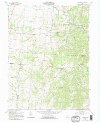
Editions of this 1961 Clearport Map
4 editions found
Other maps of this area

1906 · Chillicothe
USGS Topo · 1:62,500

1907 · Lancaster
USGS Topo · 1:62,500

1908 · Chillicothe
USGS Topo · 1:62,500

1909 · Lancaster
USGS Topo · 1:62,500

1910 · Laurelville
USGS Topo · 1:62,500

1912 · Laurelville
USGS Topo · 1:62,500

1914 · Circleville
USGS Topo · 1:62,500

1943 · Circleville
USGS Topo · 1:62,500

1944 · Laurelville
USGS Topo · 1:62,500

1947 · Columbus
USGS Topo · 1:250,000