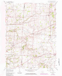
1958 Map of East Ringgold
USGS Topo · Published 1985About this map
East Ringgold and New Strasburg anchor this agricultural landscape along the boundary of Pickaway and Fairfield counties. The terrain is defined by the drainage networks of Little Walnut Creek and Clear Creek, which carve through the till plains. Settlement patterns follow the established road system, including the South Bloomfield-Royalton Road and Bells Station-Fairfield Road. In the southern portion of the sheet, the northern edge of A W Marion State Park appears near Hargus Creek.
Find a feature on this map
40 named features on this map. Tap any name to fly to it.
Don’t see what you’re looking for? This feature index may not catch every label — zoom into the map to look around manually.
Map Details
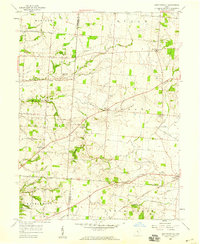
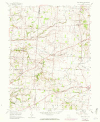
Editions of this 1958 East Ringgold Map
3 editions found
Other maps of this area

1907 · Lancaster
USGS Topo · 1:62,500

1907 · Thurston
USGS Topo · 1:62,500

1909 · Lancaster
USGS Topo · 1:62,500

1909 · Thurston
USGS Topo · 1:62,500

1914 · Circleville
USGS Topo · 1:62,500

1925 · East Columbus
USGS Topo · 1:62,500

1943 · Circleville
USGS Topo · 1:62,500

1943 · East Columbus
USGS Topo · 1:62,500

1947 · Columbus
USGS Topo · 1:250,000
1955 · Lockbourne
USGS Topo · 1:24,000